|
search place name
|
||
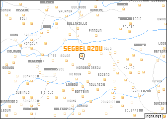
Segbelazou (Macenta, Guinea)Segbelazou is a town in the Macenta region of Guinea. An overview map of the region around Segbelazou is displayed below.
regional and 3d topo map of Segbelazou, Guinea ::
Segbelazou airports ::
The nearest airport is FAA - Faranah, located 169.7 km north west of Segbelazou.
Nearby towns ::
Gouéra (1.1km north) //
Auboulazou (1.7km south east) //
Bambessou (2.6km south west) //
Morobagassou (3.3km south east) //
Bourè (3.8km west) //
Vélassagala (4.2km east) //
Kotoua (4.7km south) //
Koelazou (5.1km south) //
Nougouro (5.5km north) //
Ténévassa (6.1km south) //
Yaradou (6.1km north west) //
Firaoua (6.1km north east) //
Ouantanka (6.1km east) //
Bouadou (6.5km north west) //
Sogbao (6.5km south east) //
Simbé (6.8km west) //
Sérissou (6.9km east) //
Sullakollo (7.1km north) //
Lambou (7.1km south) //
Bézégréga (7.1km east) //
Némèa (7.2km east) //
Boukoussou (7.2km south west) //
Aoulazou (7.4km south east) //
Likonoba (7.7km east) //
Féloussia (8.2km east) //
Diavassama (8.3km south west) //
Bottéma (8.3km south) //
Bamalassou (8.4km south east) //
Prèdou (9.2km north west) //
[all distances 'as the bird flies' and approximate] 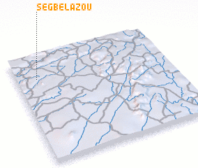 Places with similar names to Segbelazou, Guinea ::
// Skobielice (PL)
Disclaimer :: Information on this page comes without warranty of any kind |
||
|
Where is Segbelazou? Elevation and coordinates ::
Latitude (lat): 8°47'37"N Longitude (lon): 9°51'43"W
Elevation (approx.): 635m (map arrows pan, magnifying glasses zoom) |
||
|
Visiting Segbelazou? Hotel/Accommodation ::
Book a hotel in Segbelazou Travel Guide ::
Buy a travel guide for Guinea rental cars ::
car rental offers GPS waypoint ::
download a GPX waypoint (PoI) of Segbelazou for your GPS receiver
|
||