|
search place name
|
||
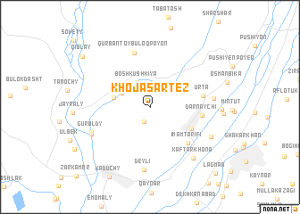
Khojasartez (Khatlon, Tajikistan)Khojasartez is a town in the Khatlon region of Tajikistan. An overview map of the region around Khojasartez is displayed below.
regional and 3d topo map of Khojasartez, Tajikistan ::
Khojasartez airports ::
The nearest airport is DYU - Dushanbe, located 97.8 km north west of Khojasartez.
Other airports nearby include UND - Kunduz Konduz (159.9 km south west), Nearby towns ::
Cholsartez (2.0km south) //
Boshkushkiya (3.3km north west) //
Urtakushkiya (3.3km north west) //
Kuyikushkiya (3.2km north west) //
Bachamazor (3.7km west) //
Ghelot (4.9km south east) //
Imamtarifi (5.8km south east) //
Darnaychi (5.2km east) //
(( Urta )) (5.4km east) //
Qurbantoybuloq Poyon (7.0km north) //
(( Deyli )) (7.9km south) //
Guruldy (6.6km south west) //
Pakhtakor (6.4km east) //
Guruldy (6.7km south west) //
Kaftarkhona (7.7km south east) //
Rakhmanberdy (7.1km south east) //
Kaduchy (9.6km south west) //
Qiblay (9.1km north west) //
Lagman (10.5km south east) //
[all distances 'as the bird flies' and approximate] 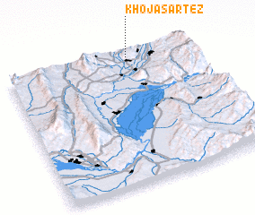 Places with similar names to Khojasartez, Tajikistan :: Disclaimer :: Information on this page comes without warranty of any kind |
||
|
Where is Khojasartez? Elevation and coordinates ::
Latitude (lat): 37°58'14"N Longitude (lon): 69°40'25"E
Elevation (approx.): 947m (map arrows pan, magnifying glasses zoom) |
||
|
Visiting Khojasartez? Hotel/Accommodation ::
Book a hotel in Khojasartez Travel Guide ::
Buy a travel guide for Tajikistan rental cars ::
car rental offers GPS waypoint ::
download a GPX waypoint (PoI) of Khojasartez for your GPS receiver
|
||