|
search place name
|
||
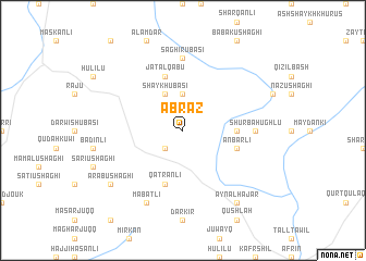
Abraz (Ḩalab, Syria)Abraz is a town in the Ḩalab region of Syria. An overview map of the region around Abraz is displayed below.
regional and 3d topo map of Abraz, Syria ::
Abraz airports ::
The nearest airport is ALP - Aleppo Intl, located 64.9 km south east of Abraz.
Other airports nearby include GZT - Gaziantep Oguzeli (72.5 km north east), ADA - Adana Incirlik Ab (126.4 km west), ADA - Adana (138.2 km west), LTK - Latakia Bassel Al Assad Intl (155.3 km south west), Nearby towns ::
Shaykh Kīlū (2.4km south west) //
Dāgh Ūbāsī (3.7km north) //
Shaykh Ūbāsī (4.0km north) //
Samālik (4.5km east) //
‘Anbarlī (4.8km south east) //
Qaţrānlī (5.8km south) //
Jatāl Qabū (5.8km north) //
Shūrbah Ūghlū (5.9km east) //
Şāghir Ūbāsī (7.4km north) //
Ma‘baţlī (8.0km south) //
‘Ayn al Ḩajar (8.7km south east) //
‘Arab Ūshāghī (8.1km south west) //
[all distances 'as the bird flies' and approximate] 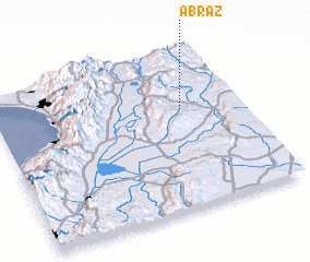 Places with similar names to Abraz, Syria ::
Disclaimer :: Information on this page comes without warranty of any kind |
||
|
Where is Abraz? Elevation and coordinates ::
Latitude (lat): 36°38'0"N Longitude (lon): 36°46'0"E
Elevation (approx.): 542m (map arrows pan, magnifying glasses zoom) |
||
|
Visiting Abraz? Hotel/Accommodation ::
Book a hotel in Abraz Travel Guide ::
Buy a travel guide for Syria rental cars ::
car rental offers GPS waypoint ::
download a GPX waypoint (PoI) of Abraz for your GPS receiver
|
||