|
search place name
|
||
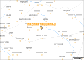
Mazra‘at ad Danājī (Rīf Dimashq, Syria)Mazra‘at ad Danājī is a town in the Rīf Dimashq region of Syria. An overview map of the region around Mazra‘at ad Danājī is displayed below.
regional and 3d topo map of Mazra‘at ad Danājī, Syria ::
Mazra‘at ad Danājī airports ::
The nearest airport is RPN - Rosh Pina Mahanaim I Ben Yaakov, located 50.0 km south west of Mazra‘at ad Danājī.
Other airports nearby include DAM - Damascus Intl (50.1 km north east), BEY - Beirut Rafic Hariri Intl (87.9 km north west), OMF - Mafraq King Hussein (93.8 km south), HFA - Haifa (102.8 km south west), Nearby towns ::
Sabsabā (1.6km west) //
Khirbat Qarīn (3.7km south) //
Kafr Nāsij (3.7km south) //
Danājī (4.0km north east) //
Ḩimrīt (4.7km west) //
Dayr Mākir (6.4km north west) //
Mā‘iş (5.8km west) //
Aţ Ţayḩah (6.5km south west) //
Choûra (7.6km north) //
Al Māl (7.3km south west) //
Kanākir (8.0km north east) //
Al ‘Uthmānīyah (7.2km north west) //
Kafr Shams (9.7km south east) //
[all distances 'as the bird flies' and approximate] 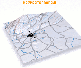 Places with similar names to Mazra‘at ad Danājī, Syria :: Disclaimer :: Information on this page comes without warranty of any kind |
||
|
Where is Mazra‘at ad Danājī? Elevation and coordinates ::
Latitude (lat): 33°11'0"N Longitude (lon): 36°3'0"E
Elevation (approx.): 835m (map arrows pan, magnifying glasses zoom) |
||
|
Visiting Mazra‘at ad Danājī? Hotel/Accommodation ::
Book a hotel in Mazra‘at ad Danājī Travel Guide ::
Buy a travel guide for Syria rental cars ::
car rental offers GPS waypoint ::
download a GPX waypoint (PoI) of Mazra‘at ad Danājī for your GPS receiver
|
||