|
search place name
|
||
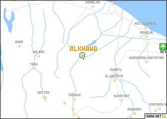
Al Khawḑ (Masqaţ, Oman)Al Khawḑ is a town in the Masqaţ region of Oman. An overview map of the region around Al Khawḑ is displayed below.
regional and 3d topo map of Al Khawḑ, Oman ::
Al Khawḑ airports ::
The nearest airport is MCT - Muscat Seeb Intl, located 16.7 km east of Al Khawḑ.
Other airports nearby include FJR - Fujeirah Fujairah Intl (250.2 km north west), Nearby towns ::
Rusayl (7.4km south east) //
Al Jafnayn (7.9km south east) //
Taşāwīr (9.1km south) //
Buwah (11.7km south west) //
[all distances 'as the bird flies' and approximate] 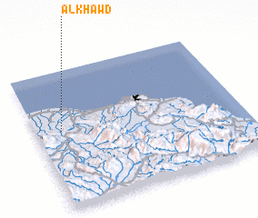 Places with similar names to Al Khawḑ, Oman ::
// Al Khayţ (SA)
// Al Khuţţah (SA)
// Al Qiḩāţī (JO)
// Alkhitoy (TJ)
// Al Khaddah (OM)
// Al Khaddah (OM)
// Alcahuito (PE)
// Al Khadie (YE)
Disclaimer :: Information on this page comes without warranty of any kind |
||
|
Where is Al Khawḑ? Elevation and coordinates ::
Latitude (lat): 23°34'4"N Longitude (lon): 58°7'24"E
Elevation (approx.): 111m (map arrows pan, magnifying glasses zoom) |
||
|
Visiting Al Khawḑ? Hotel/Accommodation ::
Book a hotel in Al Khawḑ Travel Guide ::
Buy a travel guide for Oman rental cars ::
car rental offers GPS waypoint ::
download a GPX waypoint (PoI) of Al Khawḑ for your GPS receiver
|
||