|
search place name
|
||
Banī Ka‘b (Oman)Banī Ka‘b is a town in Oman. An overview map of the region around Banī Ka‘b is displayed below.
regional and 3d topo map of Banī Ka‘b, Oman ::

Banī Ka‘b airports ::
The nearest airport is FJR - Fujeirah Fujairah Intl, located 68.6 km north of Banī Ka‘b.
Other airports nearby include SHJ - Sharjah Intl (105.0 km north west), DXB - Dubai Intl (107.8 km north west), RKT - Ras Al Khaimah Intl (120.5 km north), AUH - Abu Dhabi Intl (145.6 km west), Nearby towns ::
Ḩayl (2.5km north east) //
Al Juwayf (2.8km north east) //
Ḑāhir (5.8km south) //
Al Khuḑayrah (5.8km south) //
Rimthah (7.6km south) //
As Sūdīyah (7.3km east) //
Jabal Ghawīl (8.1km north west) //
[all distances 'as the bird flies' and approximate] 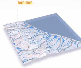 Places with similar names to Banī Ka‘b, Oman ::
// Bongabo (PH)
// Bang Bo (TH)
// Ban Kao Bo (TH)
// Ban Kiu (1) (TH)
// Ban Ko Boi (TH)
// Ban Ku Bu (TH)
// Ban Ngua Ba (TH)
// Bongabe (MG)
// Bongabe (MG)
// Banigbé (BJ)
Disclaimer :: Information on this page comes without warranty of any kind |
||
|
Where is Banī Ka‘b? Elevation and coordinates ::
Latitude (lat): 24°32'0"N Longitude (lon): 56°5'0"E
Elevation (approx.): 610m (map arrows pan, magnifying glasses zoom) |
||
|
Visiting Banī Ka‘b? Hotel/Accommodation ::
Book a hotel in Banī Ka‘b Travel Guide ::
Buy a travel guide for Oman rental cars ::
car rental offers GPS waypoint ::
download a GPX waypoint (PoI) of Banī Ka‘b for your GPS receiver
|
||