|
search place name
|
||
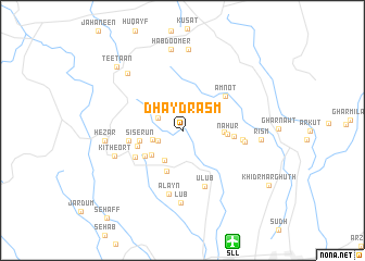
Dhayd Rasm (Z̧ufār, Oman)Dhayd Rasm is a town in the Z̧ufār region of Oman. An overview map of the region around Dhayd Rasm is displayed below.
regional and 3d topo map of Dhayd Rasm, Oman ::
Dhayd Rasm airports ::
The nearest airport is SLL - Salalah, located 12.4 km south east of Dhayd Rasm.
Other airports nearby include TTH - Thumrait (58.1 km north), Nearby towns ::
Rudha (2.6km south west) //
Dūbah (2.7km north west) //
Nāhiz (3.1km west) //
Habkayt (3.6km south west) //
Geamawt (4.0km south west) //
Glaet (4.1km east) //
Siserūn (4.3km west) //
Azeyrenawt (4.5km south) //
Nahūr (4.4km east) //
Ghoff (4.5km south west) //
Junawl (4.7km west) //
Rism (5.1km east) //
Eerdeent (5.4km west) //
Ḩayawt (5.5km south west) //
Amnot (5.5km north east) //
‘Ulūb (6.2km south) //
Rahn (6.0km east) //
Thissor (6.2km east) //
Al ‘Ayn (6.7km south) //
Lub (7.4km south) //
Kitheort (7.2km west) //
Hezār (7.7km west) //
Rism (7.8km east) //
Bisaftīr (8.0km north west) //
Firam (8.4km north) //
Habdoomer (8.4km north) //
Teetaan (9.2km north west) //
Khidr Marghūth (10.1km south east) //
[all distances 'as the bird flies' and approximate] 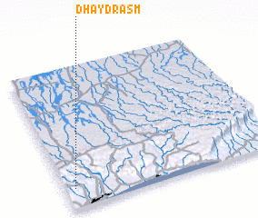 Places with similar names to Dhayd Rasm, Oman :: Disclaimer :: Information on this page comes without warranty of any kind |
||
|
Where is Dhayd Rasm? Elevation and coordinates ::
Latitude (lat): 17°8'30"N Longitude (lon): 54°2'39"E
Elevation (approx.): 373m (map arrows pan, magnifying glasses zoom) |
||
|
Visiting Dhayd Rasm? Hotel/Accommodation ::
Book a hotel in Dhayd Rasm Travel Guide ::
Buy a travel guide for Oman rental cars ::
car rental offers GPS waypoint ::
download a GPX waypoint (PoI) of Dhayd Rasm for your GPS receiver
|
||