|
search place name
|
||
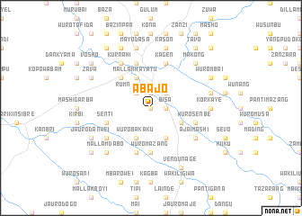
Abajo (Gongola, Nigeria)Abajo is a town in the Gongola region of Nigeria. An overview map of the region around Abajo is displayed below.
regional and 3d topo map of Abajo, Nigeria ::
Abajo airports ::
The nearest airport is YOL - Yola, located 126.4 km east of Abajo.
Nearby towns ::
Gbazan (0.0km north) //
Panti Tugang (1.9km north) //
Bisa (1.8km east) //
Rumnde Kudin (2.6km north west) //
Jalingo (2.6km north east) //
Chumo (4.1km north west) //
Bassa (4.1km south east) //
Mallam Hayatu (4.1km north west) //
Wuro Bakaku (4.1km south west) //
Ungwar Abba (4.1km south east) //
Jauro Bamvo (5.2km north west) //
Wuro Mazang (5.6km south) //
Garin Jauro Bose (5.6km south) //
Senti (5.8km west) //
Garin Mallum (5.8km west) //
Jauro Adamu (5.9km south) //
Wuro Bornu Ladde (5.9km south) //
Kagen (5.9km north) //
Kentiel (5.9km north) //
Wuro Senbe (5.8km east) //
Jauro Miya (6.7km north west) //
Kurnahi (6.7km north west) //
Jauro Sheudo (6.6km south west) //
Ajai Mashi (6.6km south east) //
Abba (6.6km south east) //
Korkaye (7.3km east) //
Mayo Dasa (7.6km north) //
Kason (7.6km north) //
Barde Lanka (7.6km east) //
[all distances 'as the bird flies' and approximate] 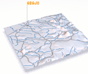 Places with similar names to Abajo, Nigeria ::
Disclaimer :: Information on this page comes without warranty of any kind |
||
|
Where is Abajo? Elevation and coordinates ::
Latitude (lat): 8°52'0"N Longitude (lon): 11°21'0"E
Elevation (approx.): 212m (map arrows pan, magnifying glasses zoom) |
||
|
Visiting Abajo? Hotel/Accommodation ::
Book a hotel in Abajo Travel Guide ::
Buy a travel guide for Nigeria rental cars ::
car rental offers GPS waypoint ::
download a GPX waypoint (PoI) of Abajo for your GPS receiver
|
||