|
search place name
|
||
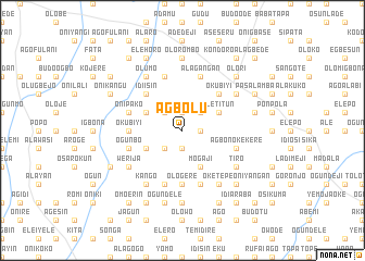
Agbolu (Gongola, Nigeria)Agbolu is a town in the Gongola region of Nigeria. An overview map of the region around Agbolu is displayed below.
regional and 3d topo map of Agbolu, Nigeria ::
Agbolu airports ::
The nearest airport is ILR - Ilorin, located 23.7 km south east of Agbolu.
Other airports nearby include IBA - Ibadan (140.6 km south), AKR - Akure (182.3 km south east), Nearby towns ::
Alagogo (1.9km south) //
Idiya (1.9km south) //
Agbati Obinu Kekere (1.9km north) //
Ologede (1.8km east) //
Alusekere (1.9km north) //
Agbono (1.8km east) //
Agbolu Isale (2.6km south west) //
Gboroko Kekere (2.6km north west) //
Idi Apa (2.6km north east) //
Elebure Isale (4.1km south west) //
Mogaji (4.1km south east) //
Oboroko Nla (4.1km north west) //
Iletitun (4.1km north east) //
Alusekere (5.2km north west) //
Idi Isin (5.2km north west) //
Idi Agbon Alagbede (5.2km north east) //
Okubiyi (5.2km north east) //
Ologere (5.6km south) //
Elebure Oke (5.5km west) //
Okubiyi (5.5km west) //
Oke Aiye (5.9km south) //
Ogunbo (5.8km west) //
Agbono Kekere (5.8km east) //
Abule Alagbede (5.8km east) //
Asi Moniyi (5.9km north) //
Afo (5.9km south) //
Onipako (5.8km west) //
Alagangan (5.9km north) //
Kango (6.7km south west) //
[all distances 'as the bird flies' and approximate] 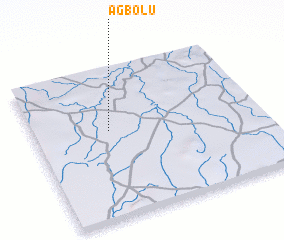 Places with similar names to Agbolu, Nigeria ::
Disclaimer :: Information on this page comes without warranty of any kind |
||
|
Where is Agbolu? Elevation and coordinates ::
Latitude (lat): 8°35'0"N Longitude (lon): 4°20'0"E
Elevation (approx.): 322m (map arrows pan, magnifying glasses zoom) |
||
|
Visiting Agbolu? Hotel/Accommodation ::
Book a hotel in Agbolu Travel Guide ::
Buy a travel guide for Nigeria rental cars ::
car rental offers GPS waypoint ::
download a GPX waypoint (PoI) of Agbolu for your GPS receiver
|
||