|
search place name
|
||
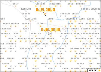
Ajelanwa (Gongola, Nigeria)Ajelanwa is a town in the Gongola region of Nigeria. An overview map of the region around Ajelanwa is displayed below.
regional and 3d topo map of Ajelanwa, Nigeria ::
Ajelanwa airports ::
The nearest airport is ILR - Ilorin, located 35.5 km south east of Ajelanwa.
Other airports nearby include IBA - Ibadan (145.5 km south), AKR - Akure (193.7 km south east), Nearby towns ::
Bada (0.0km north) //
Fata (0.0km north) //
Onigba Ese (1.9km north) //
Kojere (1.9km south) //
Bale Agbe (2.6km south east) //
Budo Aiyekale (2.6km north east) //
Ago Fulani (2.6km north east) //
Oniyangi (2.6km north west) //
Budo Adio (3.7km east) //
Budo Ogbo (4.1km south west) //
Akesegun (4.1km north east) //
Aselebe (4.1km south west) //
Onilali (4.1km south west) //
Onikangu (4.1km south east) //
Budo Adun (4.1km south east) //
Olobe (5.2km north west) //
Budo Pupa (5.6km north) //
Onire (5.6km north) //
Bakase (5.6km north) //
Elehoro (5.5km east) //
Ago Fulani (5.5km west) //
Alagutan (5.8km west) //
Alaro (5.8km east) //
Olumo (5.8km east) //
Ajanaku (6.6km north east) //
Olugbejo (6.6km south west) //
Idi Isin (6.6km south east) //
Alusekere (6.6km south east) //
Oloje (6.7km south west) //
[all distances 'as the bird flies' and approximate] 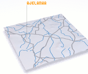 Places with similar names to Ajelanwa, Nigeria ::
Disclaimer :: Information on this page comes without warranty of any kind |
||
|
Where is Ajelanwa? Elevation and coordinates ::
Latitude (lat): 8°39'0"N Longitude (lon): 4°15'0"E
Elevation (approx.): 333m (map arrows pan, magnifying glasses zoom) |
||
|
Visiting Ajelanwa? Hotel/Accommodation ::
Book a hotel in Ajelanwa Travel Guide ::
Buy a travel guide for Nigeria rental cars ::
car rental offers GPS waypoint ::
download a GPX waypoint (PoI) of Ajelanwa for your GPS receiver
|
||