|
search place name
|
||
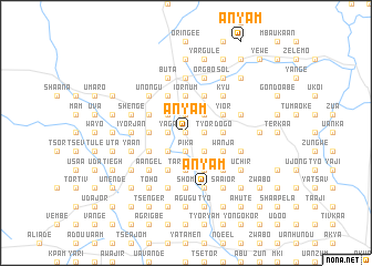
Anyam (Gongola, Nigeria)Anyam is a town in the Gongola region of Nigeria. An overview map of the region around Anyam is displayed below.
regional and 3d topo map of Anyam, Nigeria ::
Anyam airports ::
The nearest airport is MDI - Makurdi, located 33.6 km north of Anyam.
Other airports nearby include ENU - Enugu (155.1 km south west), BPC - Bamenda (224.4 km south east), ABV - Abuja Nnamdi Azikiwe Intl (232.0 km north west), BFX - Bafoussam (281.8 km south east), Nearby towns ::
Teghtegh (0.0km north) //
Wandor (0.0km north) //
Hingel (0.0km north) //
Ahen (0.0km north) //
Gyido (1.8km east) //
Tyor (1.8km east) //
Asan (1.9km south) //
Ato (1.9km south) //
Kusugh (1.9km south) //
Jagba (1.9km north) //
Pika (1.9km south) //
Kya (1.9km north) //
Uanngio (1.9km north) //
Koumto (1.9km north) //
Anzughul (1.9km south) //
Agbinda (1.9km south) //
Ntem (1.8km west) //
Ajio (1.9km north) //
Azungur (1.9km south) //
Kua (1.9km south) //
Ikpukum (1.8km west) //
Kumaga (1.8km west) //
Tyowuhe (1.9km north) //
Yaga (1.8km west) //
Michi (2.6km south east) //
Tsartim (2.6km south east) //
Pevegh (2.6km north east) //
Iarfa (2.6km south east) //
Mku (2.6km north east) //
[all distances 'as the bird flies' and approximate] 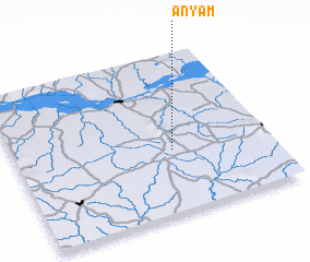 Places with similar names to Anyam, Nigeria ::
Disclaimer :: Information on this page comes without warranty of any kind |
||
|
Where is Anyam? Elevation and coordinates ::
Latitude (lat): 7°24'0"N Longitude (lon): 8°37'0"E
Elevation (approx.): 206m (map arrows pan, magnifying glasses zoom) |
||
|
Visiting Anyam? Hotel/Accommodation ::
Book a hotel in Anyam Travel Guide ::
Buy a travel guide for Nigeria rental cars ::
car rental offers GPS waypoint ::
download a GPX waypoint (PoI) of Anyam for your GPS receiver
|
||