|
search place name
|
||
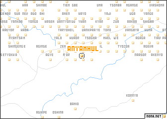
Anyamhul (Gongola, Nigeria)Anyamhul is a town in the Gongola region of Nigeria. An overview map of the region around Anyamhul is displayed below.
regional and 3d topo map of Anyamhul, Nigeria ::
Anyamhul airports ::
The nearest airport is MDI - Makurdi, located 81.5 km north of Anyamhul.
Other airports nearby include ENU - Enugu (152.1 km south west), BPC - Bamenda (177.8 km south east), BFX - Bafoussam (233.5 km south east), FOM - Foumban Nkounja (260.3 km south east), Nearby towns ::
Glinya (0.0km north) //
Mbena (1.8km west) //
Zwabo (1.9km north) //
Tswaka (1.9km north) //
Byamegh (1.8km east) //
Anjo (1.9km north) //
Kor (1.9km north) //
Sado (1.9km north) //
Shuul (1.9km north) //
Timve (1.9km north) //
Nyimgba (1.8km east) //
Amoior (1.9km north) //
Akul (1.9km north) //
Azande (2.6km north west) //
Ilira (2.6km north west) //
Gbagba (2.6km north west) //
Anolom (2.6km north west) //
Ahile (2.6km north west) //
Ugbom (2.6km north west) //
Atemaga (2.6km north west) //
Wanchior (2.6km north east) //
Anogu (2.6km north east) //
Batul (2.6km north east) //
Kasaa (2.6km north east) //
Iyor (3.7km west) //
Sina (3.7km north) //
Agbaki (3.7km north) //
Kamzende (3.7km north) //
Aken (3.7km north) //
[all distances 'as the bird flies' and approximate] 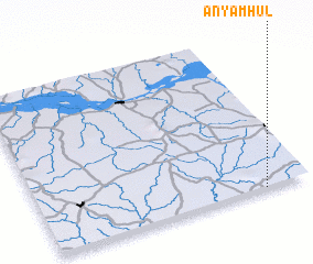 Places with similar names to Anyamhul, Nigeria :: Disclaimer :: Information on this page comes without warranty of any kind |
||
|
Where is Anyamhul? Elevation and coordinates ::
Latitude (lat): 7°0'0"N Longitude (lon): 8°50'0"E
Elevation (approx.): 123m (map arrows pan, magnifying glasses zoom) |
||
|
Visiting Anyamhul? Hotel/Accommodation ::
Book a hotel in Anyamhul Travel Guide ::
Buy a travel guide for Nigeria rental cars ::
car rental offers GPS waypoint ::
download a GPX waypoint (PoI) of Anyamhul for your GPS receiver
|
||