|
search place name
|
||
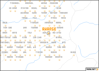
Awarge (Gongola, Nigeria)Awarge is a town in the Gongola region of Nigeria. An overview map of the region around Awarge is displayed below.
regional and 3d topo map of Awarge, Nigeria ::
Awarge airports ::
The nearest airport is MDI - Makurdi, located 78.0 km north west of Awarge.
Other airports nearby include ENU - Enugu (167.6 km south west), BPC - Bamenda (173.6 km south east), BFX - Bafoussam (231.1 km south east), FOM - Foumban Nkounja (255.5 km south east), Nearby towns ::
Tyovel (0.0km north) //
Isewual (0.0km north) //
Adi (0.0km north) //
Ausa (0.0km north) //
Gbagil (1.9km south) //
Kyakyor (1.9km south) //
Yongu (1.9km south) //
Uannune (1.9km south) //
Nelem (1.9km south) //
Shundu (1.8km east) //
Achil (1.8km east) //
Akighil (1.8km east) //
Agi (1.8km east) //
Iorzua (1.8km east) //
Uga (1.8km west) //
Yange (1.8km east) //
Ortsughun (1.8km east) //
Mazonko (1.9km north) //
Atsusa (1.9km north) //
Uchi (1.8km east) //
Atunku (1.8km east) //
Ngeleun (1.9km north) //
Ambe (2.6km south east) //
Shigba (2.6km south east) //
Zuwel (2.6km south west) //
Igbetar (2.6km south west) //
Anzenge (2.6km south west) //
Aakaa (2.6km south west) //
Mgande (2.6km north west) //
[all distances 'as the bird flies' and approximate] 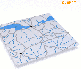 Places with similar names to Awarge, Nigeria ::
// Awireja (GH)
Disclaimer :: Information on this page comes without warranty of any kind |
||
|
Where is Awarge? Elevation and coordinates ::
Latitude (lat): 7°5'0"N Longitude (lon): 8°57'0"E
Elevation (approx.): 180m (map arrows pan, magnifying glasses zoom) |
||
|
Visiting Awarge? Hotel/Accommodation ::
Book a hotel in Awarge Travel Guide ::
Buy a travel guide for Nigeria rental cars ::
car rental offers GPS waypoint ::
download a GPX waypoint (PoI) of Awarge for your GPS receiver
|
||