|
search place name
|
||
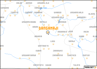
Dangamaji (Gongola, Nigeria)Dangamaji is a town in the Gongola region of Nigeria. An overview map of the region around Dangamaji is displayed below.
regional and 3d topo map of Dangamaji, Nigeria ::
Dangamaji airports ::
The nearest airport is SKO - Sokoto Sadiq Abubakar Iii Intl, located 125.3 km north east of Dangamaji.
Nearby towns ::
Galbi (2.6km north east) //
Kyarimi (3.6km east) //
Birnin Madi (3.6km east) //
Illela (3.7km north) //
Wawa Karosa (4.1km north west) //
Badaria (4.1km south west) //
Mayalo (4.1km north west) //
Duduke (4.1km south east) //
Lugu (4.1km south east) //
Akoilawa (5.6km south) //
Nasarawa (5.4km east) //
Dantawoye (5.8km south) //
Danmawa (6.6km north east) //
Ungwan Garji (6.6km north east) //
Gindi (7.2km east) //
Bakabe (7.6km north) //
Dimbogo (8.3km north east) //
Sambawa (8.3km north west) //
Kubiri (8.3km south west) //
Zaranuma (8.3km south east) //
Ungwan Shaubu (8.1km north west) //
Gumjiji (8.1km north west) //
Jega (8.6km east) //
Ungwan Danmemuna (9.2km north east) //
Gumawa (10.4km north west) //
Kulunkoji (10.4km north east) //
Ungwan Kuriya (10.4km south east) //
[all distances 'as the bird flies' and approximate] 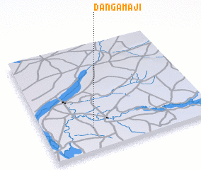 Places with similar names to Dangamaji, Nigeria ::
// Dan Gamji (NE)
// Dan Gamji (NE)
// Tancamojo (PE)
// Dan Gamji (NG)
// Tunga Maje (NG)
// Tunga Maje (NG)
// Tongmegi (KP)
// Tongmogi (KP)
// Tangmogi (KR)
Disclaimer :: Information on this page comes without warranty of any kind |
||
|
Where is Dangamaji? Elevation and coordinates ::
Latitude (lat): 12°13'0"N Longitude (lon): 4°18'0"E
Elevation (approx.): 219m (map arrows pan, magnifying glasses zoom) |
||
|
Visiting Dangamaji? Hotel/Accommodation ::
Book a hotel in Dangamaji Travel Guide ::
Buy a travel guide for Nigeria rental cars ::
car rental offers GPS waypoint ::
download a GPX waypoint (PoI) of Dangamaji for your GPS receiver
|
||