|
search place name
|
||
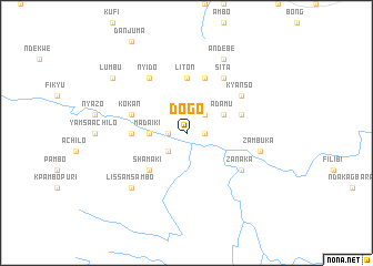
Dogo (Gongola, Nigeria)Dogo is a town in the Gongola region of Nigeria. An overview map of the region around Dogo is displayed below.
regional and 3d topo map of Dogo, Nigeria ::
Dogo airports ::
The nearest airport is BPC - Bamenda, located 111.8 km south of Dogo.
Other airports nearby include BFX - Bafoussam (169.1 km south), FOM - Foumban Nkounja (170.6 km south east), MDI - Makurdi (182.7 km north west), Nearby towns ::
Nyapuri (1.8km west) //
Kpacha (1.8km west) //
Tunga (1.8km east) //
Achifa (2.6km south west) //
Asudzun (2.6km north east) //
Madaiki (3.7km west) //
Adamu (4.1km north east) //
Shamaki (5.2km south west) //
Liton (5.6km north) //
Atotso (5.6km north) //
Kweisong (5.5km west) //
Atigsi (5.8km east) //
Lasukwe (5.9km north) //
Kokan (5.8km west) //
Kyanso (6.6km north east) //
Zanaka (6.6km south east) //
Nyido (6.7km north west) //
Sita (6.7km north east) //
Zambuka (7.6km east) //
Lissam Sambo (7.8km south west) //
Andebe (8.3km north east) //
Lumbu (9.2km north west) //
[all distances 'as the bird flies' and approximate] 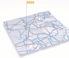 Places with similar names to Dogo, Nigeria ::
Disclaimer :: Information on this page comes without warranty of any kind |
||
|
Where is Dogo? Elevation and coordinates ::
Latitude (lat): 7°3'0"N Longitude (lon): 10°8'0"E
Elevation (approx.): 231m (map arrows pan, magnifying glasses zoom) |
||
|
Visiting Dogo? Hotel/Accommodation ::
Book a hotel in Dogo Travel Guide ::
Buy a travel guide for Nigeria rental cars ::
car rental offers GPS waypoint ::
download a GPX waypoint (PoI) of Dogo for your GPS receiver
|
||