|
search place name
|
||
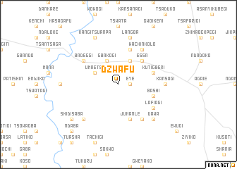
Dzwafu (Gongola, Nigeria)Dzwafu is a town in the Gongola region of Nigeria. An overview map of the region around Dzwafu is displayed below.
regional and 3d topo map of Dzwafu, Nigeria ::
Dzwafu airports ::
The nearest airport is MXJ - Minna New, located 76.0 km north of Dzwafu.
Other airports nearby include ABV - Abuja Nnamdi Azikiwe Intl (116.9 km east), ILR - Ilorin (198.3 km west), AKR - Akure (219.4 km south west), KAD - Kaduna (222.7 km north east), Nearby towns ::
Eye (1.8km east) //
Umaetsu (4.1km north west) //
Aodede (4.1km north east) //
Gbakogi (4.1km north west) //
Essa (5.2km north east) //
Kutigberi (5.8km east) //
Bashi (5.8km east) //
Lafiagi (5.9km north) //
Jumanle (5.9km south) //
Badeggi (6.6km north west) //
Wachinkolo (6.7km north east) //
Egakwuso (6.7km south east) //
Lafiagi (6.6km south east) //
Kansagi (7.3km east) //
Langba (7.6km north) //
Kunpo (7.8km south west) //
Dawa (7.8km south east) //
Kangi Tsuanpa (8.3km north west) //
Shidisaba (9.2km south west) //
Ndaba (10.4km south west) //
[all distances 'as the bird flies' and approximate] 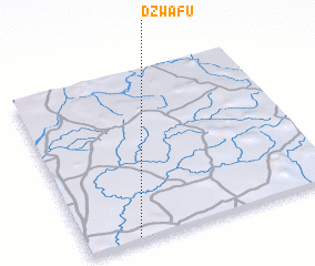
Disclaimer :: Information on this page comes without warranty of any kind |
||
|
Where is Dzwafu? Elevation and coordinates ::
Latitude (lat): 9°1'0"N Longitude (lon): 6°12'0"E
Elevation (approx.): 117m (map arrows pan, magnifying glasses zoom) |
||
|
Visiting Dzwafu? Hotel/Accommodation ::
Book a hotel in Dzwafu Travel Guide ::
Buy a travel guide for Nigeria rental cars ::
car rental offers GPS waypoint ::
download a GPX waypoint (PoI) of Dzwafu for your GPS receiver
|
||