|
search place name
|
||
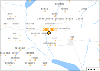
Gadaka (Gongola, Nigeria)Gadaka is a town in the Gongola region of Nigeria. An overview map of the region around Gadaka is displayed below.
regional and 3d topo map of Gadaka, Nigeria ::
Gadaka airports ::
The nearest airport is MIU - Maiduguri, located 210.7 km east of Gadaka.
Nearby towns ::
Babaji (1.8km west) //
Shembire (1.8km west) //
Yawale (2.6km north east) //
Sayo (2.6km south east) //
Garin Meri (3.7km north) //
Garin Jangam (3.7km south) //
Bozoganga (4.1km south east) //
Bagargar (4.1km south east) //
Lamba Disa (5.5km west) //
Garin Malam Yako (5.8km north) //
Dawarko (5.8km north) //
Daga Bornu (5.8km east) //
Shembire (6.6km north east) //
Dadin Kowa (7.5km west) //
Kukawa (7.6km north) //
Usaku (7.6km north) //
Jajiyaya (8.2km north west) //
Fika (8.2km east) //
Maiduwa (9.2km north east) //
Babanana (10.4km south west) //
Garin Aba (10.4km south west) //
[all distances 'as the bird flies' and approximate] 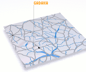 Places with similar names to Gadaka, Nigeria ::
Disclaimer :: Information on this page comes without warranty of any kind |
||
|
Where is Gadaka? Elevation and coordinates ::
Latitude (lat): 11°18'0"N Longitude (lon): 11°14'0"E
Elevation (approx.): 383m (map arrows pan, magnifying glasses zoom) |
||
|
Visiting Gadaka? Hotel/Accommodation ::
Book a hotel in Gadaka Travel Guide ::
Buy a travel guide for Nigeria rental cars ::
car rental offers GPS waypoint ::
download a GPX waypoint (PoI) of Gadaka for your GPS receiver
|
||