|
search place name
|
||
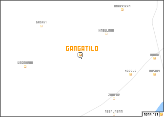
Ganga Tilo (Gongola, Nigeria)Ganga Tilo is a town in the Gongola region of Nigeria. An overview map of the region around Ganga Tilo is displayed below.
regional and 3d topo map of Ganga Tilo, Nigeria ::
Ganga Tilo airports ::
The nearest airport is MIU - Maiduguri, located 53.1 km south of Ganga Tilo.
Other airports nearby include MVR - Maroua Salak (247.3 km south east), Nearby towns ::
Kabulawa (7.8km north east) //
[all distances 'as the bird flies' and approximate] 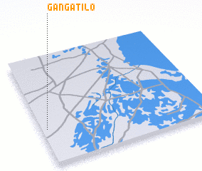 Places with similar names to Ganga Tilo, Nigeria ::
// Cangtoloy (PH)
// Kingdale (US)
// Kongotali (CG)
// Kāna Katul (IN)
// Kongtal (IN)
// Kungt'ŭl (KR)
// Goungoudala (ML)
// Konkodioula (ML)
// Kuang-ta-liao (TW)
// Kangdol-li (KP)
Disclaimer :: Information on this page comes without warranty of any kind |
||
|
Where is Ganga Tilo? Elevation and coordinates ::
Latitude (lat): 12°20'0"N Longitude (lon): 13°2'0"E
Elevation (approx.): 304m (map arrows pan, magnifying glasses zoom) |
||
|
Visiting Ganga Tilo? Hotel/Accommodation ::
Book a hotel in Ganga Tilo Travel Guide ::
Buy a travel guide for Nigeria rental cars ::
car rental offers GPS waypoint ::
download a GPX waypoint (PoI) of Ganga Tilo for your GPS receiver
|
||