|
search place name
|
||
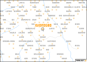
Idi Orogbo (Gongola, Nigeria)Idi Orogbo is a town in the Gongola region of Nigeria. An overview map of the region around Idi Orogbo is displayed below.
regional and 3d topo map of Idi Orogbo, Nigeria ::
Idi Orogbo airports ::
The nearest airport is LOS - Lagos Murtala Muhammed, located 50.7 km south west of Idi Orogbo.
Other airports nearby include IBA - Ibadan (64.6 km north east), COO - Cotonou Cadjehoun (144.7 km south west), ILR - Ilorin (192.8 km north east), AKR - Akure (197.4 km east), Nearby towns ::
Wasimi (1.8km west) //
Abaton (1.9km south) //
Ijaiye (1.9km north) //
Adeyokun (2.6km south west) //
Ogede (2.6km north west) //
Shiwun (3.7km south) //
Ijaiye (3.7km east) //
Baase (3.7km north) //
Owode (4.1km south west) //
Sodipe (4.1km north west) //
Emo (4.1km north west) //
Akeya (4.1km north west) //
Oloku (4.1km north east) //
Kemta (4.1km north east) //
Apidan (4.1km north east) //
Asun (5.2km north west) //
Osun (5.2km north west) //
Ogbe Eruku (5.5km west) //
Wasimi (5.8km west) //
Deboro (5.9km north) //
Sogoye (5.9km south) //
Ofanran (5.9km north) //
Solo (5.8km east) //
Okeigbala (5.8km east) //
Idofin Oke (6.7km south east) //
Idofin Isale (6.7km south east) //
Sobande (6.7km north east) //
Potoki (7.4km south) //
Adenu (7.4km north) //
[all distances 'as the bird flies' and approximate] 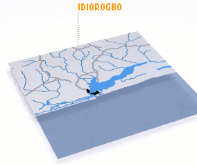 Places with similar names to Idi Orogbo, Nigeria ::
// Iteregbe (NG)
Disclaimer :: Information on this page comes without warranty of any kind |
||
|
Where is Idi Orogbo? Elevation and coordinates ::
Latitude (lat): 6°59'0"N Longitude (lon): 3°32'0"E
Elevation (approx.): 135m (map arrows pan, magnifying glasses zoom) |
||
|
Visiting Idi Orogbo? Hotel/Accommodation ::
Book a hotel in Idi Orogbo Travel Guide ::
Buy a travel guide for Nigeria rental cars ::
car rental offers GPS waypoint ::
download a GPX waypoint (PoI) of Idi Orogbo for your GPS receiver
|
||