|
search place name
|
||
Jokoro (Gongola, Nigeria)Jokoro is a town in the Gongola region of Nigeria. An overview map of the region around Jokoro is displayed below.
regional and 3d topo map of Jokoro, Nigeria ::

Jokoro airports ::
The nearest airport is ILR - Ilorin, located 59.1 km south east of Jokoro.
Other airports nearby include IBA - Ibadan (174.5 km south), AKR - Akure (218.0 km south east), Nearby towns ::
Olopa (1.8km west) //
Alate Iju (1.9km south) //
Katu (2.6km south east) //
Igbonna (3.7km south) //
Olododo (4.1km south west) //
Alate (4.1km south east) //
Olupo (5.2km south west) //
Abere Ijo (5.6km south) //
Igo Elemi (5.6km south) //
Kosigi (5.8km west) //
Ewuji (5.9km south) //
Asa Awure (6.7km south west) //
Duroye (6.6km south west) //
Bosaro (6.6km south west) //
Olodan (7.6km south) //
Jokoro (8.3km south west) //
Akata Raji (8.3km south east) //
Babaloke (8.3km south east) //
Ageri (8.2km south west) //
Olupo (9.2km south west) //
Elekoto (10.4km south west) //
Jeunkunnu (10.4km south west) //
[all distances 'as the bird flies' and approximate] 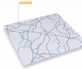 Places with similar names to Jokoro, Nigeria ::
Disclaimer :: Information on this page comes without warranty of any kind |
||
|
Where is Jokoro? Elevation and coordinates ::
Latitude (lat): 8°55'0"N Longitude (lon): 4°15'0"E
Elevation (approx.): 394m (map arrows pan, magnifying glasses zoom) |
||
|
Visiting Jokoro? Hotel/Accommodation ::
Book a hotel in Jokoro Travel Guide ::
Buy a travel guide for Nigeria rental cars ::
car rental offers GPS waypoint ::
download a GPX waypoint (PoI) of Jokoro for your GPS receiver
|
||