|
search place name
|
||
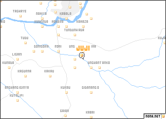
Juji (Gongola, Nigeria)Juji is a town in the Gongola region of Nigeria. An overview map of the region around Juji is displayed below.
regional and 3d topo map of Juji, Nigeria ::
Juji airports ::
The nearest airport is KAD - Kaduna, located 34.8 km north west of Juji.
Other airports nearby include ZAR - Zaria (82.5 km north), MXJ - Minna New (138.8 km south west), ABV - Abuja Nnamdi Azikiwe Intl (157.5 km south), JOS - Jos Yakubu Gowon (176.1 km south east), Nearby towns ::
Ungwan Galadima (1.9km north) //
Sauran Dogo (1.8km west) //
Chidunu (2.6km south east) //
Gidan Jatto (2.6km south west) //
Ungwan Tanko (4.1km south east) //
Romi (5.8km west) //
Pa (5.8km west) //
Tundun Wada (5.9km north) //
Kamaza (7.4km north) //
Gidan Ango (7.6km south) //
Kakuri (7.8km north west) //
Birnawa (8.3km north west) //
Kakau (8.2km south west) //
Kukau (8.3km south west) //
Makera (9.2km north west) //
[all distances 'as the bird flies' and approximate] 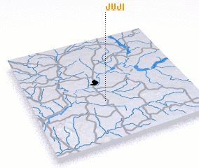 Places with similar names to Juji, Nigeria ::
Disclaimer :: Information on this page comes without warranty of any kind |
||
|
Where is Juji? Elevation and coordinates ::
Latitude (lat): 10°25'0"N Longitude (lon): 7°28'0"E
Elevation (approx.): 587m (map arrows pan, magnifying glasses zoom) |
||
|
Visiting Juji? Hotel/Accommodation ::
Book a hotel in Juji Travel Guide ::
Buy a travel guide for Nigeria rental cars ::
car rental offers GPS waypoint ::
download a GPX waypoint (PoI) of Juji for your GPS receiver
|
||