|
search place name
|
||
Kanbri (Gongola, Nigeria)Kanbri is a town in the Gongola region of Nigeria. An overview map of the region around Kanbri is displayed below.
regional and 3d topo map of Kanbri, Nigeria ::

Kanbri airports ::
The nearest airport is YOL - Yola, located 139.7 km east of Kanbri.
Nearby towns ::
Barikin Sibre (4.1km north west) //
Kirbi (4.1km north east) //
Mashi Garba (5.2km north east) //
Jauro Danwei (5.5km east) //
Jauro Sent (5.8km east) //
Jauro Jalo (5.8km east) //
Jauro Shomwa (5.8km east) //
Wuro Sani (6.7km south east) //
Kopowabam (7.4km north) //
Jauro Sheudo (7.3km east) //
Mallam Dabo (7.6km east) //
Senti (7.6km east) //
Garin Mallum (7.6km east) //
Nyakpan (8.3km north east) //
Mallam Boyi (9.2km south east) //
Zava (9.2km north east) //
Jauro Yinu (9.2km north east) //
Bampu (9.2km north west) //
[all distances 'as the bird flies' and approximate] 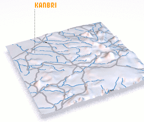 Places with similar names to Kanbri, Nigeria ::
Disclaimer :: Information on this page comes without warranty of any kind |
||
|
Where is Kanbri? Elevation and coordinates ::
Latitude (lat): 8°50'0"N Longitude (lon): 11°14'0"E
Elevation (approx.): 203m (map arrows pan, magnifying glasses zoom) |
||
|
Visiting Kanbri? Hotel/Accommodation ::
Book a hotel in Kanbri Travel Guide ::
Buy a travel guide for Nigeria rental cars ::
car rental offers GPS waypoint ::
download a GPX waypoint (PoI) of Kanbri for your GPS receiver
|
||