|
search place name
|
||
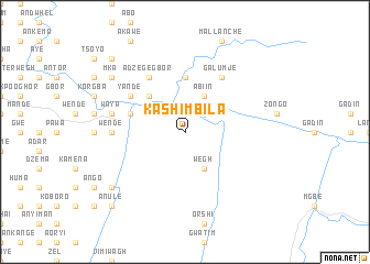
Kashimbila (Gongola, Nigeria)Kashimbila is a town in the Gongola region of Nigeria. An overview map of the region around Kashimbila is displayed below.
regional and 3d topo map of Kashimbila, Nigeria ::
Kashimbila airports ::
The nearest airport is BPC - Bamenda, located 104.5 km south east of Kashimbila.
Other airports nearby include MDI - Makurdi (148.6 km north west), BFX - Bafoussam (165.6 km south east), FOM - Foumban Nkounja (181.3 km south east), CBQ - Calabar (255.1 km south west), Nearby towns ::
Abiin (4.1km north east) //
Wegh (4.1km south east) //
Kandev (4.1km south east) //
Gundu (4.1km north west) //
Ayama (5.2km north west) //
Kongbenda (5.6km north) //
Kwangi (5.8km west) //
Galumje (6.7km north east) //
Yande (6.6km north west) //
Adzegegbor (6.7km north west) //
Iyortir (7.4km west) //
Wende (7.4km west) //
Waya (7.6km west) //
Orbunde (7.6km west) //
Aba (9.2km south west) //
Mka (9.2km north west) //
Ashar (10.4km north west) //
Anule (10.4km south west) //
[all distances 'as the bird flies' and approximate] 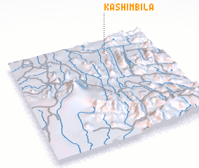 Places with similar names to Kashimbila, Nigeria ::
// Kochemli (RU)
// Cachimbal (CO)
// Cachimbal (CO)
// Quichumil (GT)
// Koshmulla (UZ)
// Kachumbala (UG)
// Kachembele (ZM)
// Kashambila (ZM)
// Kushumul (PK)
// Cochamal (PE)
Disclaimer :: Information on this page comes without warranty of any kind |
||
|
Where is Kashimbila? Elevation and coordinates ::
Latitude (lat): 6°52'0"N Longitude (lon): 9°40'0"E
Elevation (approx.): 186m (map arrows pan, magnifying glasses zoom) |
||
|
Visiting Kashimbila? Hotel/Accommodation ::
Book a hotel in Kashimbila Travel Guide ::
Buy a travel guide for Nigeria rental cars ::
car rental offers GPS waypoint ::
download a GPX waypoint (PoI) of Kashimbila for your GPS receiver
|
||