|
search place name
|
||
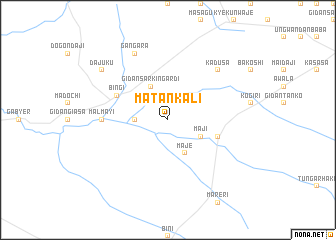
Matankali (Gongola, Nigeria)Matankali is a town in the Gongola region of Nigeria. An overview map of the region around Matankali is displayed below.
regional and 3d topo map of Matankali, Nigeria ::
Matankali airports ::
The nearest airport is QUS - Gusau, located 34.1 km north east of Matankali.
Other airports nearby include SKO - Sokoto Sadiq Abubakar Iii Intl (163.8 km north west), ZAR - Zaria (170.7 km south east), KAD - Kaduna (177.8 km south east), MFG - Maradi (179.9 km north east), Nearby towns ::
Gidan Dan Tape (3.6km west) //
Maji (4.1km south east) //
Maje (4.1km south east) //
Gidan Sarkin Gardi (4.1km north west) //
Kwandahaki (5.7km east) //
Bingi (6.2km north west) //
Malmayi (7.3km west) //
Kadusa (7.8km north east) //
Gangara (8.3km north west) //
Dajuku (9.1km north west) //
[all distances 'as the bird flies' and approximate] 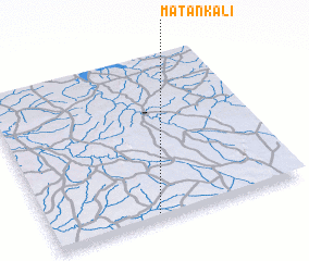 Places with similar names to Matankali, Nigeria ::
// Modonkul' (RU)
// Mattingly (US)
// Matungulu (CD)
// Matungulu (CD)
// Matungulu (CD)
// Mutangala (CD)
// Madnakal (IN)
// Medenikalla (LK)
// Médina Kel (SN)
// Médina Koli (SN)
Disclaimer :: Information on this page comes without warranty of any kind |
||
|
Where is Matankali? Elevation and coordinates ::
Latitude (lat): 12°2'0"N Longitude (lon): 6°25'0"E
Elevation (approx.): 428m (map arrows pan, magnifying glasses zoom) |
||
|
Visiting Matankali? Hotel/Accommodation ::
Book a hotel in Matankali Travel Guide ::
Buy a travel guide for Nigeria rental cars ::
car rental offers GPS waypoint ::
download a GPX waypoint (PoI) of Matankali for your GPS receiver
|
||