|
search place name
|
||
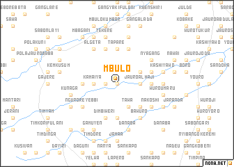
Mbulo (Gongola, Nigeria)Mbulo is a town in the Gongola region of Nigeria. An overview map of the region around Mbulo is displayed below.
regional and 3d topo map of Mbulo, Nigeria ::
Mbulo airports ::
The nearest airport is YOL - Yola, located 84.2 km north east of Mbulo.
Other airports nearby include GOU - Garoua (168.8 km north east), NGE - N'gaoundere Ngaoundere (219.8 km south east), Nearby towns ::
Sabon Layi (0.0km north) //
Wuro Dogo (1.8km west) //
Jauro Alhaji (3.7km east) //
Gidan Mutuwa (3.7km east) //
Kamaiya (3.7km west) //
Damachi (4.1km north east) //
Tawa (4.1km south east) //
Kewal (4.1km south east) //
Gangaba (5.2km south east) //
Gangisi (5.2km south east) //
Pirohi Chamba (5.2km south east) //
Desel (5.6km south) //
Tapare (5.6km north) //
Najira (5.6km north) //
Jauro Abdulahi (5.5km east) //
Burum (5.5km west) //
Gangshani (5.8km east) //
Gangalada (5.8km east) //
Sebore Tinkobo (5.9km north) //
Dimbiweri (5.9km south) //
Mangala (5.9km north) //
Bawuro (6.7km south east) //
Nyagang (6.6km north east) //
Gangwa (6.6km south east) //
Ngurore Yebbi (6.6km south west) //
Algeta (6.7km north west) //
Nakoshi (6.6km south east) //
Dimeso (7.3km east) //
Kashi Yawo (7.6km east) //
[all distances 'as the bird flies' and approximate] 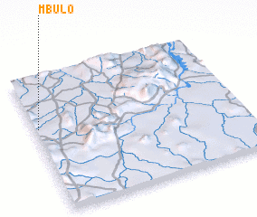 Places with similar names to Mbulo, Nigeria ::
Disclaimer :: Information on this page comes without warranty of any kind |
||
|
Where is Mbulo? Elevation and coordinates ::
Latitude (lat): 8°37'0"N Longitude (lon): 12°1'0"E
Elevation (approx.): 463m (map arrows pan, magnifying glasses zoom) |
||
|
Visiting Mbulo? Hotel/Accommodation ::
Book a hotel in Mbulo Travel Guide ::
Buy a travel guide for Nigeria rental cars ::
car rental offers GPS waypoint ::
download a GPX waypoint (PoI) of Mbulo for your GPS receiver
|
||