|
search place name
|
||
Onilu (Gongola, Nigeria)Onilu is a town in the Gongola region of Nigeria. An overview map of the region around Onilu is displayed below.
regional and 3d topo map of Onilu, Nigeria ::

Onilu airports ::
The nearest airport is ILR - Ilorin, located 43.5 km south east of Onilu.
Other airports nearby include IBA - Ibadan (141.8 km south), AKR - Akure (199.1 km south east), Nearby towns ::
Wusa (0.0km north) //
Budo Igbo (1.9km north) //
Jokonle (1.9km north) //
Onigbori (1.8km west) //
Eji (1.8km east) //
Olodan (1.8km east) //
Alagutan (2.6km south west) //
Yegun (2.6km north west) //
Elewure (2.6km north west) //
Igbori (3.7km east) //
Elewure (3.7km east) //
Ijana (3.7km west) //
Elebenla (3.7km north) //
Ijana Yeye (4.1km south west) //
Pajuegunmo (4.1km south east) //
Asure Ola (4.1km south west) //
Budo Ode (4.1km south east) //
Moyan (4.1km north east) //
Takan (5.2km south west) //
Alagutan (5.5km east) //
Olugbejo (5.8km east) //
Alenje Iju (5.9km north) //
Alenje Ile (5.9km north) //
Jegede (5.9km north) //
Ago Fulani (5.8km east) //
Aloba Ile (5.8km west) //
Osowuelegan Iju (6.7km north west) //
Ode Pupa Ile (6.6km south west) //
Olowolagba (6.6km north west) //
[all distances 'as the bird flies' and approximate] 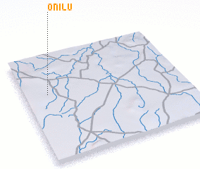 Places with similar names to Onilu, Nigeria ::
Disclaimer :: Information on this page comes without warranty of any kind |
||
|
Where is Onilu? Elevation and coordinates ::
Latitude (lat): 8°38'0"N Longitude (lon): 4°9'0"E
Elevation (approx.): 322m (map arrows pan, magnifying glasses zoom) |
||
|
Visiting Onilu? Hotel/Accommodation ::
Book a hotel in Onilu Travel Guide ::
Buy a travel guide for Nigeria rental cars ::
car rental offers GPS waypoint ::
download a GPX waypoint (PoI) of Onilu for your GPS receiver
|
||