|
search place name
|
||
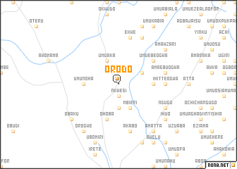
Orodo (Gongola, Nigeria)Orodo is a town in the Gongola region of Nigeria. An overview map of the region around Orodo is displayed below.
regional and 3d topo map of Orodo, Nigeria ::
Orodo airports ::
The nearest airport is PHC - Port Hartcourt Port Harcourt Intl, located 67.1 km south of Orodo.
Other airports nearby include ENU - Enugu (111.4 km north east), CBQ - Calabar (162.0 km south east), BNI - Benin (176.6 km north west), AKR - Akure (263.1 km north west), Nearby towns ::
Nkwesi (1.9km south) //
Awo (3.7km south) //
Umuaka (4.1km north west) //
Idem Ogwa (4.1km north east) //
Mbieri (4.1km south east) //
Umunoha (5.5km west) //
Ekwerazu Ogwa (5.5km east) //
Ohoba (5.9km south) //
Umuebe Ogwa (6.7km north east) //
Ihitte Ogwa (7.4km east) //
Ekwe (7.6km north) //
Amaebu Ogwa (7.6km east) //
Akabo (7.6km south) //
Amanduba (8.3km north east) //
Ngugu (8.3km south east) //
Obaku (9.2km south west) //
Orogwe (9.3km south west) //
Ihuo (9.2km south east) //
Amatta (9.3km south east) //
Amawzari (9.2km north east) //
[all distances 'as the bird flies' and approximate] 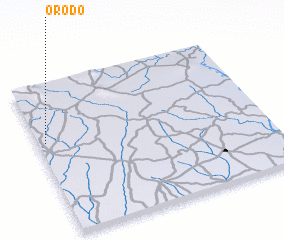 Places with similar names to Orodo, Nigeria ::
Disclaimer :: Information on this page comes without warranty of any kind |
||
|
Where is Orodo? Elevation and coordinates ::
Latitude (lat): 5°37'0"N Longitude (lon): 7°2'0"E
Elevation (approx.): 138m (map arrows pan, magnifying glasses zoom) |
||
|
Visiting Orodo? Hotel/Accommodation ::
Book a hotel in Orodo Travel Guide ::
Buy a travel guide for Nigeria rental cars ::
car rental offers GPS waypoint ::
download a GPX waypoint (PoI) of Orodo for your GPS receiver
|
||