|
search place name
|
||
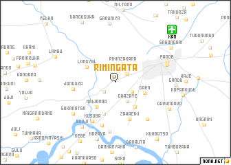
Rimin Gata (Kano, Nigeria)Rimin Gata is a town in the Kano region of Nigeria. An overview map of the region around Rimin Gata is displayed below.
regional and 3d topo map of Rimin Gata, Nigeria ::
Rimin Gata airports ::
The nearest airport is KAN - Kano Mallam Aminu Intl, located 12.4 km north east of Rimin Gata.
Other airports nearby include ZAR - Zaria (124.3 km south west), KAD - Kaduna (186.7 km south west), QUS - Gusau (191.3 km west), ZND - Zinder (208.5 km north), Nearby towns ::
Rijiyar Zaki (2.3km north east) //
Hawan Dawaki (2.4km south west) //
Dorayi Babba (3.0km south east) //
Rimin Zakara (3.2km north) //
Gwazaye (3.7km south east) //
Tudun Yola (3.9km north east) //
Mai Jamaʼa (5.0km south west) //
Gaen (4.9km east) //
Gaida (5.1km south east) //
Langyal (5.2km north west) //
Kuyan (5.4km south) //
Zawaciki (6.4km south) //
Janguza (6.8km west) //
Chalawa (7.3km south) //
Kusuba (7.3km south west) //
Yan Kusa (7.8km south east) //
Ungwan Yamu (8.0km south) //
Sakaratsa (8.4km south west) //
Kano (8.6km east) //
Fagge (8.8km east) //
Burji (8.9km south west) //
Gurun Gawa (9.6km south east) //
[all distances 'as the bird flies' and approximate] 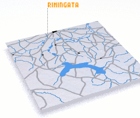 Places with similar names to Rimin Gata, Nigeria ::
Disclaimer :: Information on this page comes without warranty of any kind |
||
|
Where is Rimin Gata? Elevation and coordinates ::
Latitude (lat): 11°58'15"N Longitude (lon): 8°26'30"E
Elevation (approx.): 476m (map arrows pan, magnifying glasses zoom) |
||
|
Visiting Rimin Gata? Hotel/Accommodation ::
Book a hotel in Rimin Gata Travel Guide ::
Buy a travel guide for Nigeria rental cars ::
car rental offers GPS waypoint ::
download a GPX waypoint (PoI) of Rimin Gata for your GPS receiver
|
||