|
search place name
|
||
Shinkafe (Zamfara, Nigeria)Shinkafe is a town in the Zamfara region of Nigeria. An overview map of the region around Shinkafe is displayed below.
regional and 3d topo map of Shinkafe, Nigeria ::

Shinkafe airports ::
The nearest airport is MFG - Maradi, located 82.1 km north east of Shinkafe.
Other airports nearby include QUS - Gusau (105.9 km south), SKO - Sokoto Sadiq Abubakar Iii Intl (140.3 km west), THZ - Tahoua (236.1 km north west), ZAR - Zaria (254.6 km south east), Nearby towns ::
Chanawa (1.6km south east) //
Tungan Gwragwu (2.4km north west) //
Kaiaji (3.0km north) //
Kamarawa (5.1km east) //
Gidan Fadama (5.2km east) //
Badarawa (5.6km south east) //
Katuru (5.8km west) //
Gebo (7.5km north east) //
Tukudawa (7.8km north west) //
Galadi (8.5km south west) //
Bergaja (8.9km north west) //
[all distances 'as the bird flies' and approximate] 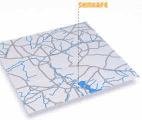 Places with similar names to Shinkafe, Nigeria ::
// Chankovo (RU)
// Channikovo (RU)
// Chaynikovo (RU)
// Chaynikovo (RU)
// Chenkovo (RU)
// Shanguvu (CD)
// Shangafu (TZ)
// Shangafu (TZ)
// Shinkafa (NG)
// Shinkafi (NG)
Disclaimer :: Information on this page comes without warranty of any kind |
||
|
Where is Shinkafe? Elevation and coordinates ::
Latitude (lat): 13°6'22"N Longitude (lon): 6°29'11"E
Elevation (approx.): 324m (map arrows pan, magnifying glasses zoom) |
||
|
Visiting Shinkafe? Hotel/Accommodation ::
Book a hotel in Shinkafe Travel Guide ::
Buy a travel guide for Nigeria rental cars ::
car rental offers GPS waypoint ::
download a GPX waypoint (PoI) of Shinkafe for your GPS receiver
|
||