|
search place name
|
||
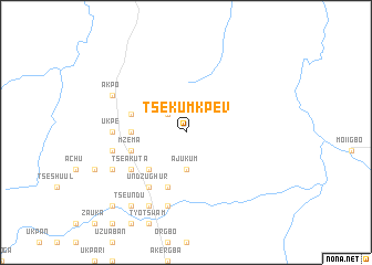
Tse Kumkpev (Gongola, Nigeria)Tse Kumkpev is a town in the Gongola region of Nigeria. An overview map of the region around Tse Kumkpev is displayed below.
regional and 3d topo map of Tse Kumkpev, Nigeria ::
Tse Kumkpev airports ::
The nearest airport is MDI - Makurdi, located 48.0 km north east of Tse Kumkpev.
Other airports nearby include ENU - Enugu (133.5 km south west), ABV - Abuja Nnamdi Azikiwe Intl (202.1 km north west), BPC - Bamenda (260.3 km south east), Nearby towns ::
Tse Amondu (2.6km north west) //
Ajukum (3.7km south) //
Abe (5.2km south west) //
Igura (5.2km south west) //
Kyor (5.2km south west) //
Maga (5.2km south west) //
Oryaji (5.2km south west) //
Uga (5.5km west) //
Amewe (5.8km west) //
Nomyiwa (5.9km south) //
Mzema (5.8km west) //
Undzughur (6.7km south west) //
Tse Akuta (6.6km south west) //
Namshu (6.6km south west) //
Dedaro (7.4km west) //
Girim (7.4km west) //
Ukpe (7.4km west) //
Ovungu (7.4km west) //
Asor (7.4km west) //
Aondo Ana (7.6km south) //
Gbabi (7.6km west) //
Aondo Ana (8.3km south west) //
Akpo (8.2km north west) //
Hungo (8.2km south west) //
Tseundu (9.2km south west) //
Tar (10.4km south west) //
Jimin (10.4km south west) //
[all distances 'as the bird flies' and approximate] 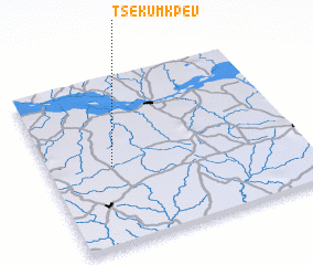 Places with similar names to Tse Kumkpev, Nigeria :: Disclaimer :: Information on this page comes without warranty of any kind |
||
|
Where is Tse Kumkpev? Elevation and coordinates ::
Latitude (lat): 7°28'0"N Longitude (lon): 8°15'0"E
Elevation (approx.): 158m (map arrows pan, magnifying glasses zoom) |
||
|
Visiting Tse Kumkpev? Hotel/Accommodation ::
Book a hotel in Tse Kumkpev Travel Guide ::
Buy a travel guide for Nigeria rental cars ::
car rental offers GPS waypoint ::
download a GPX waypoint (PoI) of Tse Kumkpev for your GPS receiver
|
||