|
search place name
|
||
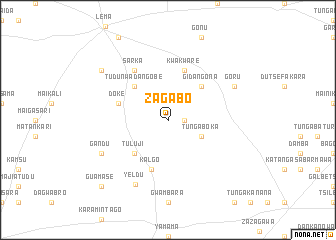
Zagabo (Gongola, Nigeria)Zagabo is a town in the Gongola region of Nigeria. An overview map of the region around Zagabo is displayed below.
regional and 3d topo map of Zagabo, Nigeria ::
Zagabo airports ::
The nearest airport is SKO - Sokoto Sadiq Abubakar Iii Intl, located 98.7 km east of Zagabo.
Nearby towns ::
Adegari (1.8km east) //
Tunga Boka (4.1km south east) //
Tuluji (5.2km south west) //
Tudun Wadan Gobe (5.2km north west) //
Gidan Gona (5.2km north east) //
Kalgo (5.8km south) //
Doke (5.7km west) //
Kwakware (5.8km north) //
Sarka (6.6km north west) //
Yeldu (8.0km south west) //
Gandu (8.1km south west) //
Goru (8.1km north east) //
Kuka Bakway (9.1km north west) //
Guamase (10.4km south west) //
[all distances 'as the bird flies' and approximate] 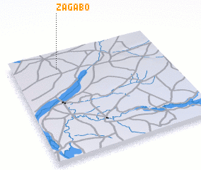 Places with similar names to Zagabo, Nigeria ::
Disclaimer :: Information on this page comes without warranty of any kind |
||
|
Where is Zagabo? Elevation and coordinates ::
Latitude (lat): 12°51'0"N Longitude (lon): 4°18'0"E
Elevation (approx.): 230m (map arrows pan, magnifying glasses zoom) |
||
|
Visiting Zagabo? Hotel/Accommodation ::
Book a hotel in Zagabo Travel Guide ::
Buy a travel guide for Nigeria rental cars ::
car rental offers GPS waypoint ::
download a GPX waypoint (PoI) of Zagabo for your GPS receiver
|
||