|
search place name
|
||
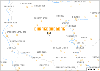
Changdong-dong (Hamgyŏng, Korea, North)Changdong-dong is a town in the Hamgyŏng region of Korea, North. An overview map of the region around Changdong-dong is displayed below.
regional and 3d topo map of Changdong-dong, Korea, North ::
Changdong-dong airports ::
The nearest airport is FNJ - Pyongyang Intl, located 110.0 km west of Changdong-dong.
Other airports nearby include SHO - Sokch'o Sokcho (200.2 km south east), GMP - Seoul Gimpo (203.1 km south), SSN - Seoul East Seoul Ab (215.8 km south), Nearby towns ::
Changp'yŏng (2.0km south) //
Sasŭl-gol (5.4km north west) //
Changnyang-ni (5.9km north west) //
Wŏn'gŏ-ri (5.9km north east) //
Sangjukchŏn-ni (6.6km south east) //
Kae-maŭl (7.1km north east) //
Soksa-gol (7.6km south) //
Sŏngnae-ri (7.2km north east) //
Hanbat (7.7km south east) //
Tŏksa-dong (6.6km east) //
Namsŏk (7.2km east) //
Maemoru (10.2km south west) //
[all distances 'as the bird flies' and approximate] 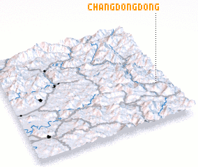 Places with similar names to Changdong-dong, Korea, North ::
// Changdŭng-dong (KP)
// Chungdang-dong (KP)
// Chungdang-dong (KP)
// Ch'ŏngdong-dong (KR)
// Chungdang-dong (KR)
// Changdŭng-dong (KP)
Disclaimer :: Information on this page comes without warranty of any kind |
||
|
Where is Changdong-dong? Elevation and coordinates ::
Latitude (lat): 39°23'5"N Longitude (lon): 126°55'43"E
Elevation (approx.): 340m (map arrows pan, magnifying glasses zoom) |
||
|
Visiting Changdong-dong? Hotel/Accommodation ::
Book a hotel in Changdong-dong Travel Guide ::
rental cars ::
car rental offers GPS waypoint ::
download a GPX waypoint (PoI) of Changdong-dong for your GPS receiver
|
||