|
search place name
|
||
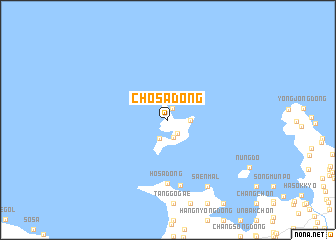
Chosa-dong (Hwanghae, Korea, North)Chosa-dong is a town in the Hwanghae region of Korea, North. An overview map of the region around Chosa-dong is displayed below.
regional and 3d topo map of Chosa-dong, Korea, North ::
Chosa-dong airports ::
The nearest airport is FNJ - Pyongyang Intl, located 86.5 km north east of Chosa-dong.
Other airports nearby include GMP - Seoul Gimpo (198.8 km south east), Nearby towns ::
Soha-dong (1.4km north) //
Sŏkto-ri (1.7km south east) //
Kwanch'ŏng-dong (2.0km south) //
Sinjŏng-dong (2.2km south) //
Yongsan-dong (2.0km east) //
Hŏsa-dong (7.1km south) //
Hŏsa-dong (7.3km south) //
Wŏlsa-ri (8.2km south east) //
Saen-mal (8.2km south east) //
[all distances 'as the bird flies' and approximate] 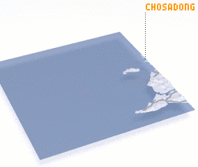 Places with similar names to Chosa-dong, Korea, North ::
// Chastang (US)
// Chestang (US)
// Chisa-dong (KP)
// Chiso-dong (KP)
// Ch'ŏsa-dong (KP)
// Ch'oso-dong (KP)
// Chossi-dong (KP)
// Chosu-dong (KP)
// Chussi-dong (KP)
// Ch'asu-dong (KP)
Disclaimer :: Information on this page comes without warranty of any kind |
||
|
Where is Chosa-dong? Elevation and coordinates ::
Latitude (lat): 38°39'2"N Longitude (lon): 124°59'39"E
Elevation (approx.): 5m (map arrows pan, magnifying glasses zoom) |
||
|
Visiting Chosa-dong? Hotel/Accommodation ::
Book a hotel in Chosa-dong Travel Guide ::
rental cars ::
car rental offers GPS waypoint ::
download a GPX waypoint (PoI) of Chosa-dong for your GPS receiver
|
||