|
search place name
|
||
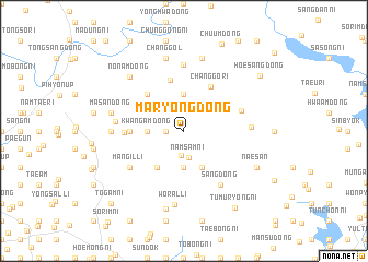
Maryong-dong (Korea, North)Maryong-dong is a town in Korea, North. An overview map of the region around Maryong-dong is displayed below.
regional and 3d topo map of Maryong-dong, Korea, North ::
Maryong-dong airports ::
The nearest airport is FNJ - Pyongyang Intl, located 116.5 km south east of Maryong-dong.
Nearby towns ::
Yongam-dong (1.2km north) //
Masang-dong (1.4km west) //
Mahŭng-dong (1.4km west) //
Maha-dong (2.5km north) //
Och'ŏn-dong (2.6km south) //
Namsam-ni (2.8km south) //
Yonghŭng-ni (2.8km north) //
Wŏrha-dong (3.7km south) //
Kwangam-dong (2.8km west) //
Ch'ubong-ni (3.7km north) //
Unch'ŏn-dong (4.0km south) //
Mangilgogae (4.3km south west) //
Chŏngsan-ni (4.7km north west) //
Changgŏ-ri (5.0km north east) //
Chŏngha-dong (5.3km north) //
Kwangsang-dong (4.3km west) //
Kwang-ni (4.6km west) //
Hwahapha-dong (5.0km north east) //
Mangil-li (5.6km south west) //
Sang-dong (6.2km south east) //
Mu-dong (6.8km north) //
Hwasam-ni (5.3km east) //
Kwangha-dong (5.4km west) //
Kwangjung-dong (5.7km west) //
Wŏral-li (7.5km south) //
Masan-dong (6.0km west) //
Chang-gol (7.5km north) //
Puksam-ni (7.5km north) //
Nonam-dong (7.0km north west) //
[all distances 'as the bird flies' and approximate] 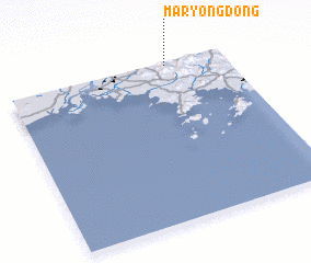 Places with similar names to Maryong-dong, Korea, North :: Disclaimer :: Information on this page comes without warranty of any kind |
||
|
Where is Maryong-dong? Elevation and coordinates ::
Latitude (lat): 39°59'0"N Longitude (lon): 124°44'0"E
Elevation (approx.): 129m (map arrows pan, magnifying glasses zoom) |
||
|
Visiting Maryong-dong? Hotel/Accommodation ::
Book a hotel in Maryong-dong Travel Guide ::
rental cars ::
car rental offers GPS waypoint ::
download a GPX waypoint (PoI) of Maryong-dong for your GPS receiver
|
||