|
search place name
|
||
Mul-gol (Korea, North)Mul-gol is a town in Korea, North. An overview map of the region around Mul-gol is displayed below.
regional and 3d topo map of Mul-gol, Korea, North ::

Mul-gol airports ::
The nearest airport is FNJ - Pyongyang Intl, located 82.4 km south east of Mul-gol.
Nearby towns ::
Tong-gol (0.9km south) //
Pyŏkpi-dong (1.0km east) //
Sugong-ni (1.3km north) //
Sŏ-gol (1.7km south west) //
Yongdu-ri (2.1km south east) //
Wŏrong-ni (2.3km north) //
Songjŏng (2.3km north west) //
Namsan (2.3km north west) //
Nosangdong-Tae-dong (2.3km south west) //
Changnyong-ni (3.0km south) //
Yangji-dong (3.0km north) //
Sinhyŏl-li (3.0km south) //
Kunsandong-Hadan-ni (2.6km east) //
K'ŭn-maŭl (2.9km north west) //
Songmol-gol (3.4km south west) //
In'gong-ni (3.2km north west) //
Hyudu-ri (3.8km south) //
Kamagŏ-ri (3.3km south west) //
Toam-gol (4.0km north) //
Hyŏn-gol (3.4km north west) //
Maebawi (4.0km south) //
Chigyŏng (4.0km south) //
Sŏngjo (3.9km south west) //
Namsan (4.4km south) //
Noha-ri (4.4km south west) //
Maengma-dong (3.8km south east) //
Kan-dong (4.4km south west) //
Kamt'ang-dong (4.5km north east) //
Tong-dong (4.9km south west) //
[all distances 'as the bird flies' and approximate] 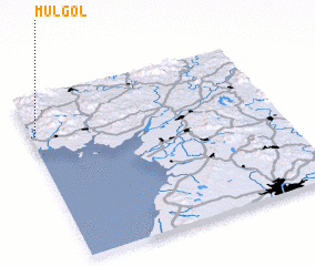 Places with similar names to Mul-gol, Korea, North ::
// Mawlaikkale (MM)
// Mèlako-alè (MM)
// Mǝlikli (AZ)
// Mǝlikli (AZ)
// Melikli (AZ)
// Melikli (AZ)
// Mülkülü (AZ)
// Milkel (DE)
// Mäliküla (EE)
// Mala Kula (BA)
Disclaimer :: Information on this page comes without warranty of any kind |
||
|
Where is Mul-gol? Elevation and coordinates ::
Latitude (lat): 39°46'0"N Longitude (lon): 125°1'0"E
Elevation (approx.): 52m (map arrows pan, magnifying glasses zoom) |
||
|
Visiting Mul-gol? Hotel/Accommodation ::
Book a hotel in Mul-gol Travel Guide ::
rental cars ::
car rental offers GPS waypoint ::
download a GPX waypoint (PoI) of Mul-gol for your GPS receiver
|
||