|
search place name
|
||
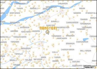
Namgye-ri (Korea, North)Namgye-ri is a town in Korea, North. An overview map of the region around Namgye-ri is displayed below.
regional and 3d topo map of Namgye-ri, Korea, North ::
Namgye-ri airports ::
The nearest airport is FNJ - Pyongyang Intl, located 34.6 km south of Namgye-ri.
Other airports nearby include GMP - Seoul Gimpo (241.9 km south east), Nearby towns ::
Kŭmgye-ri (1.2km north) //
Changbaeng-ni (1.3km west) //
Ssanggye-ri (1.4km east) //
Samsan-ni (1.4km west) //
Yongun-ni (1.9km south east) //
Ponghang-ni (2.4km south) //
Yongam-ni (2.3km south west) //
Kŭmgye-ri (2.7km north) //
Yonggye-ri (2.5km north west) //
Yongnam-ni (2.8km south east) //
Yonghŭng-ni (3.0km north east) //
Kuam-ni (2.9km west) //
Masan-ni (2.9km west) //
Maebong-ni (2.9km west) //
Sangbuktong-ni (3.7km south west) //
Yongsang-ni (4.0km south) //
Yongho-ri (3.4km north east) //
Tonggye-ri (3.4km north east) //
Unam-ni (3.4km south west) //
Torhak-kogae (4.3km south) //
T'ogyo-ri (4.7km south) //
Musan-ni (3.6km west) //
Mundŏg-ŭp (4.5km south west) //
Yongun-ni (4.7km north) //
Yangch'ŏl-li (4.7km south) //
Sinwŏl-li (4.6km north east) //
Unsong-ni (5.2km north) //
Yudŏk-kol (4.7km south west) //
Ch'ŏngsong-ni (4.7km north west) //
[all distances 'as the bird flies' and approximate] 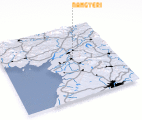
Disclaimer :: Information on this page comes without warranty of any kind |
||
|
Where is Namgye-ri? Elevation and coordinates ::
Latitude (lat): 39°32'0"N Longitude (lon): 125°37'0"E
Elevation (approx.): 20m (map arrows pan, magnifying glasses zoom) |
||
|
Visiting Namgye-ri? Hotel/Accommodation ::
Book a hotel in Namgye-ri Travel Guide ::
rental cars ::
car rental offers GPS waypoint ::
download a GPX waypoint (PoI) of Namgye-ri for your GPS receiver
|
||