|
search place name
|
||
Ongsan-dong (Hamgyŏng, Korea, North)Ongsan-dong is a town in the Hamgyŏng region of Korea, North. An overview map of the region around Ongsan-dong is displayed below.
regional and 3d topo map of Ongsan-dong, Korea, North ::
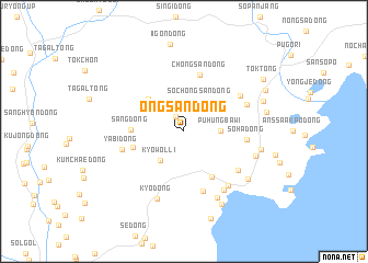
Nearby towns ::
Purong-dong (1.7km north west) //
Soch'ŏngsan-dong (3.3km north) //
Puhŭngbawi (2.8km east) //
Kyowŏl-li (3.4km south west) //
Pulch'e-dong (4.2km north west) //
Namwŏn-dong (4.2km south west) //
Sang-dong (4.1km west) //
Ch'angp'yŏng-dong (5.1km south east) //
Ch'ŏngsan-dong (5.9km north) //
Yŏnch'ŏl-li (6.3km south) //
Sŏha-dong (4.8km east) //
Yabi-dong (5.0km west) //
Chungp'yŏng-dong (5.7km south east) //
Sangsagu-dong (5.6km north east) //
Sagu-ri (5.5km north east) //
Yŏn'gok (6.5km south east) //
Ch'ŏngŏgumi (6.7km south east) //
Kyo-dong (7.2km south) //
Kisŭng-dong (7.2km south) //
Anjin-dong (6.0km south east) //
Yongnam-dong (6.1km east) //
Yŏnjil-li (6.9km south east) //
Ki-dong (8.0km south) //
Hasagu-dong (6.7km north east) //
Sŏha-dong (6.6km east) //
Mangyanggumi (9.1km south) //
Waugwan-dong (7.5km north east) //
Tok-tong (8.0km north east) //
[all distances 'as the bird flies' and approximate] 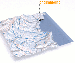 Places with similar names to Ongsan-dong, Korea, North :: Disclaimer :: Information on this page comes without warranty of any kind |
||
|
Where is Ongsan-dong? Elevation and coordinates ::
Latitude (lat): 41°57'41"N Longitude (lon): 129°51'27"E
Elevation (approx.): 90m (map arrows pan, magnifying glasses zoom) |
||
|
Visiting Ongsan-dong? Hotel/Accommodation ::
Book a hotel in Ongsan-dong Travel Guide ::
rental cars ::
car rental offers GPS waypoint ::
download a GPX waypoint (PoI) of Ongsan-dong for your GPS receiver
|
||