|
search place name
|
||
Pusan-dong (Yanggang, Korea, North)Pusan-dong is a town in the Yanggang region of Korea, North. An overview map of the region around Pusan-dong is displayed below.
regional and 3d topo map of Pusan-dong, Korea, North ::
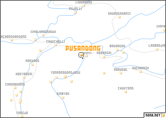
Nearby towns ::
Tuji-ri (0.9km north east) //
Hasanbo (3.2km north east) //
P'osang-ni (3.7km east) //
Yŏnp'o-rodongjagu (5.0km south west) //
Hadŏkchŏn (5.4km south) //
Makchung-dong (4.9km south east) //
Paekp'yŏng (5.2km south west) //
Chukchŏl-li (5.6km north west) //
Togijŏn-dong (6.1km south west) //
Badaogou (6.2km east) //
Yŏngjŏ (7.5km south west) //
Mŏru-gol (7.2km south east) //
Sinbyŏk (9.4km south) //
[all distances 'as the bird flies' and approximate] 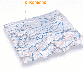 Places with similar names to Pusan-dong, Korea, North ::
// Pazintaung (MM)
// Pass Ndongo (SN)
// Paesan-dong (KP)
// Paesan-dong (KP)
// Posan-dong (KP)
// Pusan-dong (KP)
// Pusan-dong (KP)
// Pusan-dong (KP)
// Pusan-dong (KP)
// Pazundaung (MM)
Disclaimer :: Information on this page comes without warranty of any kind |
||
|
Where is Pusan-dong? Elevation and coordinates ::
Latitude (lat): 41°29'45"N Longitude (lon): 127°11'23"E
Elevation (approx.): 491m (map arrows pan, magnifying glasses zoom) |
||
|
Visiting Pusan-dong? Hotel/Accommodation ::
Book a hotel in Pusan-dong Travel Guide ::
rental cars ::
car rental offers GPS waypoint ::
download a GPX waypoint (PoI) of Pusan-dong for your GPS receiver
|
||