|
search place name
|
||
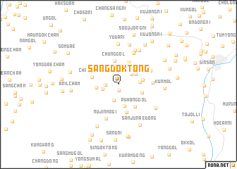
Sangdŏk-tong (P'yŏngan, Korea, North)Sangdŏk-tong is a town in the P'yŏngan region of Korea, North. An overview map of the region around Sangdŏk-tong is displayed below.
regional and 3d topo map of Sangdŏk-tong, Korea, North ::
Sangdŏk-tong airports ::
The nearest airport is FNJ - Pyongyang Intl, located 69.9 km south west of Sangdŏk-tong.
Nearby towns ::
Kŭn-gol (0.9km south) //
Yongdŏng-ni (1.6km west) //
Chungangch'am (2.6km south) //
T'ŏk-kol (2.1km west) //
Sŏch'ang (2.3km north east) //
Wŏlbong-gol (2.7km north west) //
Unhŭng-ni (2.7km north east) //
Panggatchi (2.6km east) //
Chungganch'am (3.4km south) //
P'yŏngjiwŏn (2.7km west) //
Chung-gol (3.8km north) //
Ha-gol (3.8km north) //
Kwanp'yŏng-ni (3.1km east) //
Chagŭn-gol (3.2km south east) //
Changp'o-ri (3.4km west) //
Puhŏng-gol (4.0km south east) //
Ssariatch'i (4.5km south) //
Kŭmdŏk (4.2km east) //
Chŏnsal-li (4.4km north east) //
Chung-ni (5.3km north) //
Nŭjinmogi (5.6km south) //
Hyŏngbong-nodongjagu (5.8km north) //
K'ŭn-mal (6.0km north east) //
Yudari (6.4km north) //
Yangji-dong (6.4km north) //
Ansan-dong (5.9km south east) //
Kŭn-mal (5.6km east) //
Sanjunae-dong (7.0km south) //
Kilsang-ni (7.2km south) //
[all distances 'as the bird flies' and approximate] 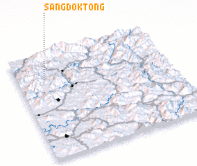 Places with similar names to Sangdŏk-tong, Korea, North ::
Disclaimer :: Information on this page comes without warranty of any kind |
||
|
Where is Sangdŏk-tong? Elevation and coordinates ::
Latitude (lat): 39°43'24"N Longitude (lon): 126°9'57"E
Elevation (approx.): 204m (map arrows pan, magnifying glasses zoom) |
||
|
Visiting Sangdŏk-tong? Hotel/Accommodation ::
Book a hotel in Sangdŏk-tong Travel Guide ::
rental cars ::
car rental offers GPS waypoint ::
download a GPX waypoint (PoI) of Sangdŏk-tong for your GPS receiver
|
||