|
search place name
|
||
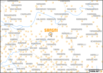
Sang-ni (Korea, North)Sang-ni is a town in Korea, North. An overview map of the region around Sang-ni is displayed below.
regional and 3d topo map of Sang-ni, Korea, North ::
Sang-ni airports ::
The nearest airport is FNJ - Pyongyang Intl, located 125.8 km south east of Sang-ni.
Nearby towns ::
Yangji-maŭl (0.0km north) //
Ŭmji-maŭl (0.0km north) //
T'aebong (1.8km north) //
Ssangsong-dong (1.9km south) //
Tangsong (1.9km south) //
Paegun (1.9km south) //
Sae-maŭl (1.4km west) //
Arae-maŭl (1.4km west) //
Tŏkpong (1.4km east) //
T'aebong (1.4km east) //
Chigyŏng (1.9km north) //
Yongyu-ri (1.9km north) //
Tongsaryŏng (2.4km south) //
Tŏgyang (2.3km south west) //
Sinp'yŏng (2.3km south east) //
Namt'ae-ri (2.3km north east) //
Tongsang-ni (2.3km south east) //
Sŏsaryŏng (3.7km south) //
Tonghŭng (3.7km south) //
Hangnyŏng-dong (2.8km west) //
Sinhak (2.8km west) //
Wŏnhak (2.8km west) //
Wŏlbong (2.8km east) //
Ipsŏk-tong (2.9km east) //
Taep'yŏng-ni (3.0km east) //
Kuŭp (4.0km south) //
Miryŏng-ni (3.4km south west) //
Hakhyŏn-dong (3.4km north west) //
Tongbu-dong (4.0km south west) //
[all distances 'as the bird flies' and approximate] 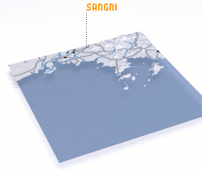 Places with similar names to Sang-ni, Korea, North ::
Disclaimer :: Information on this page comes without warranty of any kind |
||
|
Where is Sang-ni? Elevation and coordinates ::
Latitude (lat): 39°59'0"N Longitude (lon): 124°35'0"E
Elevation (approx.): 32m (map arrows pan, magnifying glasses zoom) |
||
|
Visiting Sang-ni? Hotel/Accommodation ::
Book a hotel in Sang-ni Travel Guide ::
rental cars ::
car rental offers GPS waypoint ::
download a GPX waypoint (PoI) of Sang-ni for your GPS receiver
|
||