|
search place name
|
||
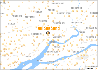
Simdae-dong (P'yŏngan, Korea, North)Simdae-dong is a town in the P'yŏngan region of Korea, North. An overview map of the region around Simdae-dong is displayed below.
regional and 3d topo map of Simdae-dong, Korea, North ::
Simdae-dong airports ::
The nearest airport is FNJ - Pyongyang Intl, located 51.7 km south of Simdae-dong.
Nearby towns ::
Insan-ni (0.3km west) //
Tŏgin-dong (0.3km west) //
Chijang-ni (1.0km north west) //
Sŏsam-ni (1.2km east) //
Namsin-dong (1.8km north) //
Kŭnjang-dong (2.0km south) //
Songhang-ni (2.0km south) //
Tongnae-ri (1.7km east) //
Ch'ŏngam-ni (1.7km west) //
Tanghyŏn-ni (2.0km north east) //
Sinch'o-ri (2.3km south east) //
Yup'o-ri (2.4km north west) //
Sŏngsan-dong (2.6km south west) //
Songdam-dong (2.6km south west) //
Songji-ri (2.6km south west) //
Naehŭng-ni (2.6km south west) //
Kŭmgye-ri (2.6km south west) //
Yŏngdun-ni (2.6km south west) //
Sŏwŏn-ni (3.0km south) //
Munjŏng-ni (3.4km north) //
Kobo-ri (3.2km north east) //
Tongbyŏn-ni (3.6km north) //
Kwandong-ni (3.6km north) //
Yŏnhŭng-ni (3.6km north) //
Posŏng-ni (3.1km north east) //
Sinjang-ni (3.8km south) //
Yudong-ni (3.2km south east) //
Unjŏn-ŭp (3.0km east) //
Chaegong-ni (4.0km south) //
[all distances 'as the bird flies' and approximate] 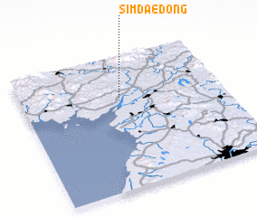 Places with similar names to Simdae-dong, Korea, North ::
Disclaimer :: Information on this page comes without warranty of any kind |
||
|
Where is Simdae-dong? Elevation and coordinates ::
Latitude (lat): 39°40'3"N Longitude (lon): 125°29'11"E
Elevation (approx.): 19m (map arrows pan, magnifying glasses zoom) |
||
|
Visiting Simdae-dong? Hotel/Accommodation ::
Book a hotel in Simdae-dong Travel Guide ::
rental cars ::
car rental offers GPS waypoint ::
download a GPX waypoint (PoI) of Simdae-dong for your GPS receiver
|
||