|
search place name
|
||
Sŏnghyŏn-ni (Kangwŏn, Korea, North)Sŏnghyŏn-ni is a town in the Kangwŏn region of Korea, North. An overview map of the region around Sŏnghyŏn-ni is displayed below.
regional and 3d topo map of Sŏnghyŏn-ni, Korea, North ::

Sŏnghyŏn-ni airports ::
The nearest airport is SHO - Sokch'o Sokcho, located 89.4 km south east of Sŏnghyŏn-ni.
Other airports nearby include SSN - Seoul East Seoul Ab (133.5 km south west), GMP - Seoul Gimpo (136.8 km south west), KAG - Kangnung Gangneung (139.2 km south east), OSN - Osan Ab (172.9 km south), Nearby towns ::
Sŏngdo-ri (1.5km north) //
Sango-ri (1.3km west) //
Sanggisŏng-ni (2.4km south) //
Tosŏng-ni (2.2km south west) //
Kisŏng-ni (2.6km south east) //
Nŭngdong-ni (2.9km east) //
Piyang-dong (3.7km north east) //
Naehoehyŏn (3.9km north west) //
P'an'gyo-ri (3.8km west) //
Sŏnghwang-ni (4.4km south west) //
Ansojae (5.1km north) //
Hajisŏng-ni (4.7km north east) //
Hoehyŏn-ni (4.7km north west) //
Hakpang-nodongjagu (5.5km south) //
Songp'o-ri (5.5km north) //
Taebaeng-ni (4.7km north west) //
Kŭmhak-tong (6.0km south) //
Taebaeng-ni (4.8km west) //
Kalbang-dong (5.9km south west) //
Tadae-dong (5.0km north west) //
Chisŏng-ni (5.8km north east) //
Chŏngsu-gol (5.9km north west) //
Sangjisŏng-ni (6.3km north east) //
Subang-dong (6.4km south west) //
Sinsŏng-ni (5.3km east) //
Ch'angdo-ri (5.9km south west) //
Kaemal-li (7.4km north) //
Tŭksa-ri (6.5km south west) //
Simp'o-ri (7.8km north) //
[all distances 'as the bird flies' and approximate] 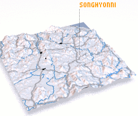 Places with similar names to Sŏnghyŏn-ni, Korea, North ::
Disclaimer :: Information on this page comes without warranty of any kind |
||
|
Where is Sŏnghyŏn-ni? Elevation and coordinates ::
Latitude (lat): 38°33'0"N Longitude (lon): 127°43'0"E
Elevation (approx.): 493m (map arrows pan, magnifying glasses zoom) |
||
|
Visiting Sŏnghyŏn-ni? Hotel/Accommodation ::
Book a hotel in Sŏnghyŏn-ni Travel Guide ::
rental cars ::
car rental offers GPS waypoint ::
download a GPX waypoint (PoI) of Sŏnghyŏn-ni for your GPS receiver
|
||