|
search place name
|
||
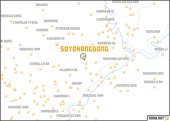
Soyohang-dong (Chagang, Korea, North)Soyohang-dong is a town in the Chagang region of Korea, North. An overview map of the region around Soyohang-dong is displayed below.
regional and 3d topo map of Soyohang-dong, Korea, North ::
Soyohang-dong airports ::
The nearest airport is FNJ - Pyongyang Intl, located 110.8 km south west of Soyohang-dong.
Nearby towns ::
K'ŭndaek-kol (0.6km south) //
Chagŭndaek-kol (1.7km south) //
Chŏnp'yŏng-dong (1.8km east) //
Namsil-li (3.0km south) //
Wŏndaech'am (3.7km south east) //
Chŏnp'yŏng-dong (3.9km north) //
Sŏksanch'am (4.5km south) //
Kujaek-kol (4.1km south west) //
Tangmokch'am (4.5km south east) //
Munbau-gol (4.7km north east) //
Il-tong (5.7km north) //
Kukhwach'am (4.5km east) //
Chŏnjŏngch'am (5.4km south east) //
Koŭm-dong (4.6km west) //
Hwanggyŏngch'am (5.9km south) //
Ŏŭn-gol (5.7km south west) //
Hagap (6.4km south) //
Puhŭng-ni (5.6km south east) //
I-dong (6.3km north) //
Yuwŏnch'am (5.3km south east) //
Kaphyŏn-dong (6.6km south) //
Kalgol-tong (6.3km north) //
Kŭmsan-dong (5.2km east) //
Sanggap (6.5km south) //
Taehŭng-dong (5.5km north east) //
Songji-ri (6.4km south west) //
P'yŏngwŏn-dong (6.5km north west) //
Norumaegich'am (5.4km east) //
Sangsŏ-ri (5.5km west) //
[all distances 'as the bird flies' and approximate] 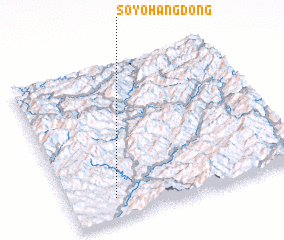 Places with similar names to Soyohang-dong, Korea, North ::
// Soyohang-dong (KP)
Disclaimer :: Information on this page comes without warranty of any kind |
||
|
Where is Soyohang-dong? Elevation and coordinates ::
Latitude (lat): 40°8'8"N Longitude (lon): 126°11'46"E
Elevation (approx.): 209m (map arrows pan, magnifying glasses zoom) |
||
|
Visiting Soyohang-dong? Hotel/Accommodation ::
Book a hotel in Soyohang-dong Travel Guide ::
rental cars ::
car rental offers GPS waypoint ::
download a GPX waypoint (PoI) of Soyohang-dong for your GPS receiver
|
||