|
search place name
|
||
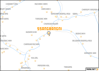
Ssangbang-ni (Chagang, Korea, North)Ssangbang-ni is a town in the Chagang region of Korea, North. An overview map of the region around Ssangbang-ni is displayed below.
regional and 3d topo map of Ssangbang-ni, Korea, North ::
Ssangbang-ni airports ::
The nearest airport is FNJ - Pyongyang Intl, located 183.2 km south west of Ssangbang-ni.
Nearby towns ::
Sangsŏnggan (0.1km north west) //
Sangp'anmak (1.7km west) //
Chungsŏnggan (3.4km north) //
Tongsal-li (3.1km south west) //
Ssangnyong-ni (4.2km south west) //
T'ongsach'am (5.7km north west) //
Husanch'am (5.1km west) //
Munamch'am (7.3km north) //
Sŏnggan-ŭp (6.8km north east) //
Oesŏ-ri (7.4km north) //
Changhŏngch'am (6.7km south west) //
Sŏngnyong-nodongjagu (6.4km east) //
Sŏngha-nodongjagu (7.8km north east) //
Ch'angp'yŏngch'am (8.9km north) //
Kanch'am (2) (8.9km north) //
Mup'yong-ni (8.0km south west) //
Yangjip'yŏng (8.5km north east) //
Hwaam-nodongjagu (9.6km south west) //
[all distances 'as the bird flies' and approximate] 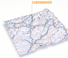 Places with similar names to Ssangbang-ni, Korea, North ::
// Sangbang-ni (KP)
// Sangbong-ni (KP)
// Sangbong-ni (KP)
// Songbong-ni (KP)
// Songbong-ni (KP)
// Sŏngbung-ni (KP)
// Sŏngbung-ni (KP)
// Sŏngbung-ni (KP)
// Sŏngbung-ni (KP)
// Sŏngbung-ni (KP)
Disclaimer :: Information on this page comes without warranty of any kind |
||
|
Where is Ssangbang-ni? Elevation and coordinates ::
Latitude (lat): 40°44'12"N Longitude (lon): 126°31'36"E
Elevation (approx.): 401m (map arrows pan, magnifying glasses zoom) |
||
|
Visiting Ssangbang-ni? Hotel/Accommodation ::
Book a hotel in Ssangbang-ni Travel Guide ::
rental cars ::
car rental offers GPS waypoint ::
download a GPX waypoint (PoI) of Ssangbang-ni for your GPS receiver
|
||