|
search place name
|
||
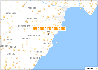
Ssangnyong-dong (Hamgyŏng, Korea, North)Ssangnyong-dong is a town in the Hamgyŏng region of Korea, North. An overview map of the region around Ssangnyong-dong is displayed below.
regional and 3d topo map of Ssangnyong-dong, Korea, North ::
Nearby towns ::
Mugyegok (1.2km north east) //
Chaegung-ch'on (1.2km north east) //
Ch'angjin (1.2km east) //
Se-dong (1.4km south west) //
Ssangbong-ch'on (1.9km south) //
Yangsajŏn (1.6km north west) //
Yongsajŏn (1.6km north west) //
T'ap-ch'on (2.0km south) //
Yŏm-ch'on (2.6km south) //
Songbong-ch'on (2.5km south west) //
Igok (3.0km north east) //
Ssangnyongjin (2.8km north east) //
Hwangsŏk-ch'on (3.2km south west) //
Toksan-ch'on (4.0km south) //
Kobyŏru-ri (3.6km south east) //
Yŏmdunji (3.6km north east) //
Manch'ul-li (4.3km south) //
K'ŭn-dong (3.5km north west) //
Taedong-ch'on (4.3km north) //
Ŭnho-ri (4.2km north east) //
Tongjin (4.4km north east) //
P'ungho-dong (5.2km south) //
Yangji-ch'on (5.2km south) //
Ip'ung-ni (5.4km south) //
Hansŏn-ch'on (4.4km west) //
Mangho-ch'on (5.5km north east) //
Sol-gol (5.3km north west) //
Tŏkkŏ-ri (6.0km north) //
Chŏn-ch'on (6.3km north) //
[all distances 'as the bird flies' and approximate] 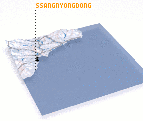 Places with similar names to Ssangnyong-dong, Korea, North ::
Disclaimer :: Information on this page comes without warranty of any kind |
||
|
Where is Ssangnyong-dong? Elevation and coordinates ::
Latitude (lat): 40°36'31"N Longitude (lon): 129°9'23"E
Elevation (approx.): 30m (map arrows pan, magnifying glasses zoom) |
||
|
Visiting Ssangnyong-dong? Hotel/Accommodation ::
Book a hotel in Ssangnyong-dong Travel Guide ::
rental cars ::
car rental offers GPS waypoint ::
download a GPX waypoint (PoI) of Ssangnyong-dong for your GPS receiver
|
||