|
search place name
|
||
Tangjam-ni (Hwanghae, Korea, North)Tangjam-ni is a town in the Hwanghae region of Korea, North. An overview map of the region around Tangjam-ni is displayed below.
regional and 3d topo map of Tangjam-ni, Korea, North ::

Tangjam-ni airports ::
The nearest airport is FNJ - Pyongyang Intl, located 110.9 km north east of Tangjam-ni.
Other airports nearby include GMP - Seoul Gimpo (180.7 km south east), Nearby towns ::
Nugok (0.9km north west) //
Segok-tong (1.0km south east) //
Kwanhyŏn-dong (1.6km north west) //
Podŏng-ni (1.5km west) //
Chinmok-tong (1.7km south east) //
Kangch'on (1.8km west) //
Somil-tong (2.5km south) //
Yul-li (2.3km south east) //
Sangjinmok-tong (2.6km south east) //
Sangnong-dong (3.0km north east) //
Taemil-li (3.0km south east) //
Unsal-li (2.8km west) //
Chungnong-dong (3.5km north) //
Anhyŏp-tong (4.3km north) //
Sŏch'on (3.6km west) //
Taeya-dong (3.6km east) //
Sŏwŏl-tong (4.4km south east) //
Nojŏng-ni (4.8km north) //
Tongwŏl-tong (4.7km south) //
Susa-ri (4.0km east) //
Chuch'ol-li (4.2km east) //
Tangsal-li (4.1km west) //
Sinhwa-dong (5.4km north) //
Sansu-ri (4.3km east) //
Sangwŏl-li (5.6km south) //
Changam-ni (5.5km north) //
Sangan-dong (5.4km north east) //
Tobak-tong (5.2km south east) //
Togol (4.6km south west) //
[all distances 'as the bird flies' and approximate] 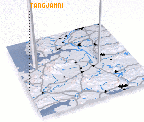 Places with similar names to Tangjam-ni, Korea, North ::
// Tounga Jimino (NE)
// Tongjŏm-ni (KP)
Disclaimer :: Information on this page comes without warranty of any kind |
||
|
Where is Tangjam-ni? Elevation and coordinates ::
Latitude (lat): 38°22'12"N Longitude (lon): 125°0'28"E
Elevation (approx.): 51m (map arrows pan, magnifying glasses zoom) |
||
|
Visiting Tangjam-ni? Hotel/Accommodation ::
Book a hotel in Tangjam-ni Travel Guide ::
rental cars ::
car rental offers GPS waypoint ::
download a GPX waypoint (PoI) of Tangjam-ni for your GPS receiver
|
||