|
search place name
|
||
Wŏnhyŏn (Korea, North)Wŏnhyŏn is a town in Korea, North. An overview map of the region around Wŏnhyŏn is displayed below.
regional and 3d topo map of Wŏnhyŏn, Korea, North ::

Wŏnhyŏn airports ::
The nearest airport is FNJ - Pyongyang Intl, located 115.3 km south east of Wŏnhyŏn.
Nearby towns ::
Hagam-ni (0.0km north) //
Kanggye-dong (1.1km south west) //
Samgae-ri (1.3km south) //
Inhŭng (1.9km north) //
Tongyaksu (1.9km north) //
Ch'ŏn-dong (1.4km east) //
Nae-dong (1.4km east) //
Insan (1.4km west) //
Sŏkch'ŏn-ni (1.9km south) //
Yŏngan (1.4km west) //
Namp'yŏng (2.3km north west) //
Namsi-dong (2.3km north west) //
Sinhŭng (2.3km north west) //
Inbong-dong (2.3km south east) //
Songsan-ni (2.3km south east) //
Chajak-tong (2.3km south west) //
Hyang-dong (2.3km south west) //
Sŏngjae-ri (2.3km north west) //
Hyangbong-ni (2.5km south west) //
Tangbong (2.5km south west) //
Sŏyaksu (3.1km north) //
Nodang-ni (2.5km east) //
In'gwang-ni (3.5km north) //
To-dong (3.6km south) //
Kwangbong-dong (3.7km north) //
Sangji-ri (3.7km north) //
Hoemong-ni (2.8km east) //
Namsan-ni (2.8km east) //
Tongsŏk-tong (2.8km west) //
[all distances 'as the bird flies' and approximate] 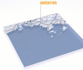 Places with similar names to Wŏnhyŏn, Korea, North ::
// Wunayan (SD)
// Hwanghyŏn (KP)
// Hwanhyŏn-ni (KP)
// Wŏnŏyŏn (KR)
// Wān Na-yao-nö (MM)
// Wān U-yin (MM)
// Wānyan (MM)
// Wān Yawn (MM)
// Wān Yawn (MM)
// Wān-yin (MM)
Disclaimer :: Information on this page comes without warranty of any kind |
||
|
Where is Wŏnhyŏn? Elevation and coordinates ::
Latitude (lat): 39°52'0"N Longitude (lon): 124°37'0"E
Elevation (approx.): 21m (map arrows pan, magnifying glasses zoom) |
||
|
Visiting Wŏnhyŏn? Hotel/Accommodation ::
Book a hotel in Wŏnhyŏn Travel Guide ::
rental cars ::
car rental offers GPS waypoint ::
download a GPX waypoint (PoI) of Wŏnhyŏn for your GPS receiver
|
||