|
search place name
|
||
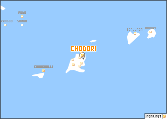
Ch'odo-ri (Chŏlla, Korea, South)Ch'odo-ri is a town in the Chŏlla region of Korea, South. An overview map of the region around Ch'odo-ri is displayed below.
regional and 3d topo map of Ch'odo-ri, Korea, South ::
Ch'odo-ri airports ::
The nearest airport is RSU - Yeosu, located 75.5 km north east of Ch'odo-ri.
Other airports nearby include CJU - Cheju Jeju Intl (106.6 km south west), KWJ - Kwangju Gwangju (107.6 km north), PUS - Kimhae Gimhae Intl (186.5 km north east), KUB - Kunsan Ab (194.7 km north), Nearby towns ::
 Places with similar names to Ch'odo-ri, Korea, South ::
Disclaimer :: Information on this page comes without warranty of any kind |
||
|
Where is Ch'odo-ri? Elevation and coordinates ::
Latitude (lat): 34°13'49"N Longitude (lon): 127°15'28"E
Elevation (approx.): 5m (map arrows pan, magnifying glasses zoom) |
||
|
Visiting Ch'odo-ri? Hotel/Accommodation ::
Book a hotel in Ch'odo-ri Travel Guide ::
rental cars ::
car rental offers GPS waypoint ::
download a GPX waypoint (PoI) of Ch'odo-ri for your GPS receiver
|
||