|
search place name
|
||
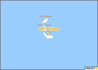
Hat'aedo-ri (Chŏlla, Korea, South)Hat'aedo-ri is a town in the Chŏlla region of Korea, South. An overview map of the region around Hat'aedo-ri is displayed below.
regional and 3d topo map of Hat'aedo-ri, Korea, South ::
Hat'aedo-ri airports ::
The nearest airport is CJU - Cheju Jeju Intl, located 147.1 km south east of Hat'aedo-ri.
Other airports nearby include KWJ - Kwangju Gwangju (160.3 km north east), KUB - Kunsan Ab (206.2 km north east), Nearby towns ::
T'aedo-ri (0.1km south west) //
Chungt'aedo-ri (3.3km north west) //
Sangt'aedo-ri (6.2km north) //
[all distances 'as the bird flies' and approximate] 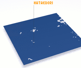 Places with similar names to Hat'aedo-ri, Korea, South ::
// Whitetree (US)
// White Deer (US)
// White Deer (US)
// Hutaduru (ID)
// Hato de Oro (MX)
// Haut-Ittre (BE)
// Huutotöyry (FI)
Disclaimer :: Information on this page comes without warranty of any kind |
||
|
Where is Hat'aedo-ri? Elevation and coordinates ::
Latitude (lat): 34°23'27"N Longitude (lon): 125°18'5"E
Elevation (approx.): 38m (map arrows pan, magnifying glasses zoom) |
||
|
Visiting Hat'aedo-ri? Hotel/Accommodation ::
Book a hotel in Hat'aedo-ri Travel Guide ::
rental cars ::
car rental offers GPS waypoint ::
download a GPX waypoint (PoI) of Hat'aedo-ri for your GPS receiver
|
||