|
search place name
|
||
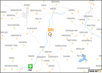
Omi (Kyŏnggi, Korea, South)Omi is a town in the Kyŏnggi region of Korea, South. An overview map of the region around Omi is displayed below.
regional and 3d topo map of Omi, Korea, South ::
Omi airports ::
The nearest airport is OSN - Osan Ab, located 12.5 km south west of Omi.
Other airports nearby include SSN - Seoul East Seoul Ab (28.4 km north), GMP - Seoul Gimpo (49.1 km north west), YEC - Yechon Yecheon (128.1 km south east), KUB - Kunsan Ab (149.1 km south), Nearby towns ::
Changjinae (5.4km south east) //
Osan (5.6km south west) //
Parŭn'gol (4.8km east) //
Kohyŏn (6.8km south) //
Pŏlt'ŏ (6.5km north west) //
Pyŏngjŏm (5.7km west) //
Sangdŏkkok (6.3km east) //
Saet'ŏ-mal (6.9km east) //
Tongch'ŏn (8.6km south) //
Habung-ni (9.1km south) //
Namsan-dong (8.2km south east) //
Kung-mal (8.2km north east) //
Mŏnnae (9.5km north west) //
Seryu-dong (9.5km north west) //
Twin-mal (9.7km south east) //
Todo-ri (10.1km south west) //
Ŭnmok (10.5km north east) //
[all distances 'as the bird flies' and approximate] 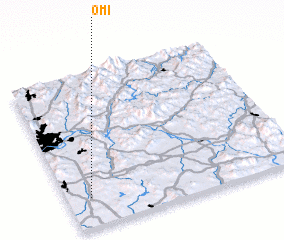 Places with similar names to Omi, Korea, South ::
Disclaimer :: Information on this page comes without warranty of any kind |
||
|
Where is Omi? Elevation and coordinates ::
Latitude (lat): 37°11'24"N Longitude (lon): 127°5'49"E
Elevation (approx.): 38m (map arrows pan, magnifying glasses zoom) |
||
|
Visiting Omi? Hotel/Accommodation ::
Book a hotel in Omi Travel Guide ::
rental cars ::
car rental offers GPS waypoint ::
download a GPX waypoint (PoI) of Omi for your GPS receiver
|
||